What is recorded here
This narrow (Wth 3.2m), six-arched bridge with low parapet walls (H 1.2m; T 0.45m) spans the River Liffey c. 2.5 miles NW of Naas. The upriver cutwaters, on the SW side, are triangular with semi-domed cappings and the downriver cutwaters are trapezoidal. While bearing evidence of some 18th and 19th century rebuilding work, according to O'Keefe and Simington (1991, 183-5), 'the bridge could fit into any period between about 1450 and 1650 … (and) apart from .. being the oldest survivor on the Liffey, it seems to be a rare example of the transition from the pointed segmental to the segmental arch form in bridge construction in Ireland'.
Caragh Bridge (Gingerstown, Halverstown tds, KD019-012) is determined to be a National Monument as defined in Section 2 of the National Monuments Act 1930 by reason of the rarity of its form, its early date and its historical and social significance. It is owned by the Local Authority.
Compiled by: Gearóid Conroy
Date of revision: 11 September 2015
The monument record does not grant public access. Check the route and ask the landowner before entering private land.
- What survives
- Recorded monument
Places near here
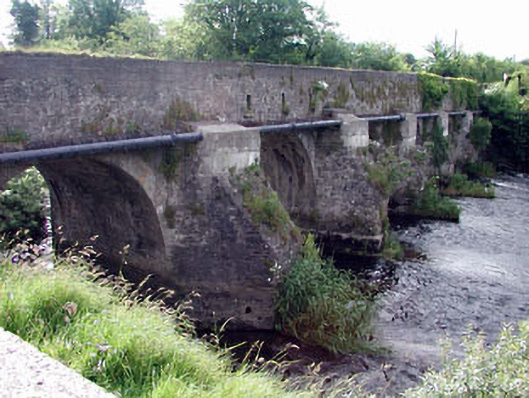 Carragh Bridgebridge · 6 yd
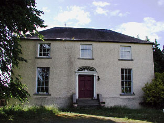 Liffey Lodgepresbytery/parochial/curate's house · 411 yd
 Site of Carragh Parish Church (C of I)Archaeological place · 1071 yd
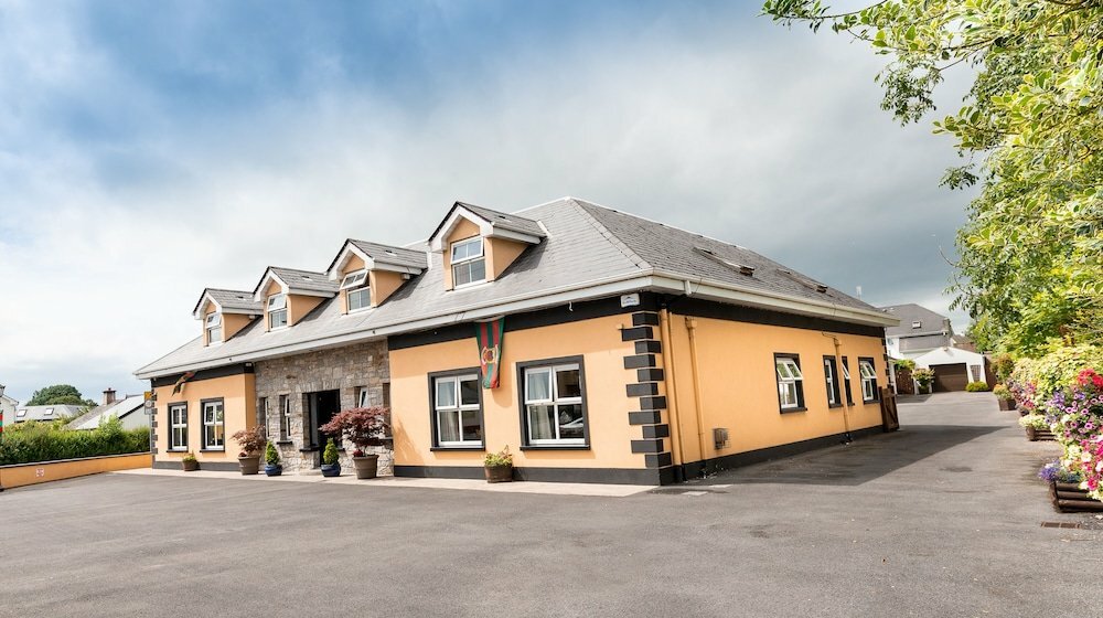 Carragh CrossCross, Wayside cross · 1250 yd
 European Crab AppleEuropean Crab Apple · 1.2 mi
 IndicatedCastle, tower house · 1.8 mi
 Castle RagCastle, tower house · 2.0 mi
 Museum of MotorsportMuseum · 2.0 mi
 Monread District Park WoodsWood · 2.8 mi
 Grand Canal WayVisitor information · 4.7 mi
 Newbridge SilverwareMuseum · 4.9 mi
 Councillor Jim MileyMemorial · 8.8 mi