What is recorded here
Scotland's National Record of the Historic Environment records Carnoustie, Upper Victoria Link, Enclosure as Enclosure (early Medieval). The official map says its point is accurate as follows: NGR given to the nearest 1m. The record does not by itself mean that the public may enter the place.
The historic-place record does not grant public access. Check current conditions and ownership before entering land or a building.
Places near here
 PitskellyEnclosure(s) (period Unknown), Rig and Furrow (medieval) - (post Medieval), Unenclosed Settlement (prehistoric) · 357 yd
 Mains of RavensbyPit(s) (period Unknown) · 557 yd
 Ravensby HouseCountry House (period Unassigned) · 612 yd
 BarryVillage (period Unassigned) · 1022 yd
 Carnoustie War MemorialMemorial · 1.3 mi
 The Dibble TreeVisitor information · 1.3 mi
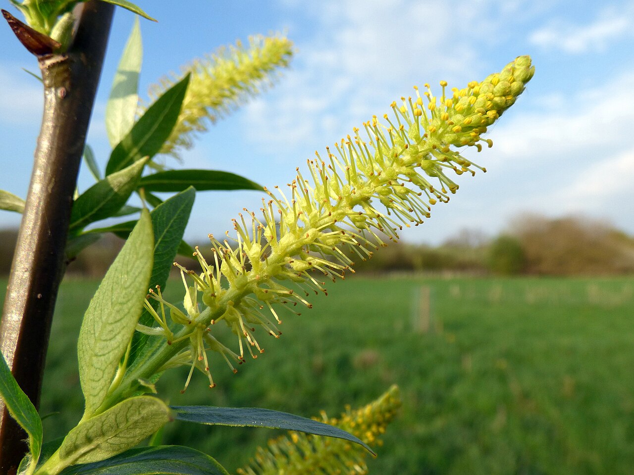 Dibble TreeCricket-bat willow · 1.3 mi
 Battle of Barrybattle · 1.5 mi
 Panmure CastleCastle (medieval), Chapel (medieval), Garden (post Medieval)(possible), Moat (medieval), Mound(s) (period Unknown) · 1.6 mi
 Castle HillCastle (medieval)(possible) · 1.6 mi
 Carnoustie BeachBeach / strand · 1.6 mi
 Westhaven BeachBeach / strand · 2.1 mi