What is recorded here
Scotland's National Record of the Historic Environment records Carnoustie, Thomas Street, St. Anne's Roman Catholic Church as Church (20th Century). The official map says its point is accurate as follows: NGR given to the nearest 1m. The record does not by itself mean that the public may enter the place.
St. Anne's Roman Catholic Church in Carnoustie is dedicated to St. Anne, the mother of the Virgin Mary, a saint traditionally associated with fertility, childbirth, and protection. While the church itself is a 20th-century structure, devotion to St. Anne has deep roots in Scottish Catholic tradition, often linked to local shrines and healing practices.
The historic-place record does not grant public access. Check current conditions and ownership before entering land or a building.
Places near here
 CarnoustieRefuse Disposal Site (20th Century) · 348 yd
 Shanwell CemeteryBurial Ground (20th Century) · 699 yd
 Carnoustie, Golf CourseGolf Course (19th Century) (1835) · 1226 yd
 Ravensby HouseCountry House (period Unassigned) · 1369 yd
 The Dibble TreeVisitor information · 1540 yd
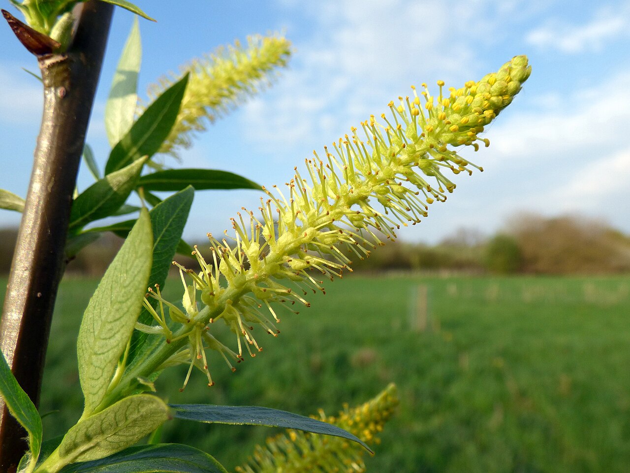 Dibble TreeCricket-bat willow · 1555 yd
 Carnoustie War MemorialMemorial · 1561 yd
 Battle of Barrybattle · 1.1 mi
 Carnoustie BeachBeach / strand · 1.2 mi
 Westhaven BeachBeach / strand · 1.8 mi
 Panmure CastleCastle (medieval), Chapel (medieval), Garden (post Medieval)(possible), Moat (medieval), Mound(s) (period Unknown) · 2.1 mi
 Castle HillCastle (medieval)(possible) · 2.2 mi