
What is recorded here
Carngarrow Coastal Promontory Fort stands where the land stops arguing with the sea, using the cliff itself as a wall while human hands added whatever shape they could. It is the kind of place where people learned to read weather before they read books, watching water decide which rocks could be trusted. Much of its history has not survived, but the coastline still repeats the same lesson: strength is not the same as pride, and adaptation is the oldest language on earth.
The Archaeological Survey of Ireland (ASI) is in the process of providing information on all monuments on The Historic Environment Viewer (HEV). Currently the information for this record has not been uploaded. To access available information for research purposes please make an appointment in advance with the Archive Unit (open Fridays 10.00 am – 5.00 pm), Department of Housing, Local Government and Heritage, The Custom House, Dublin 1 D01W6XO or email NMarchive@housing.gov.ie.
The monument record does not grant public access. Check the route and ask the landowner before entering private land.
- What survives
- Recorded monument
Places near here
 Holy well in CarngarrowHoly well · 1031 yd
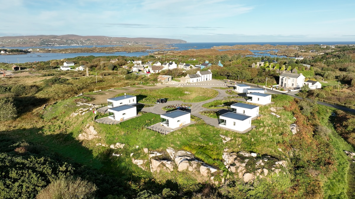 Bun na Toinne Coastal Promontory FortPromontory fort, coastal · 1537 yd
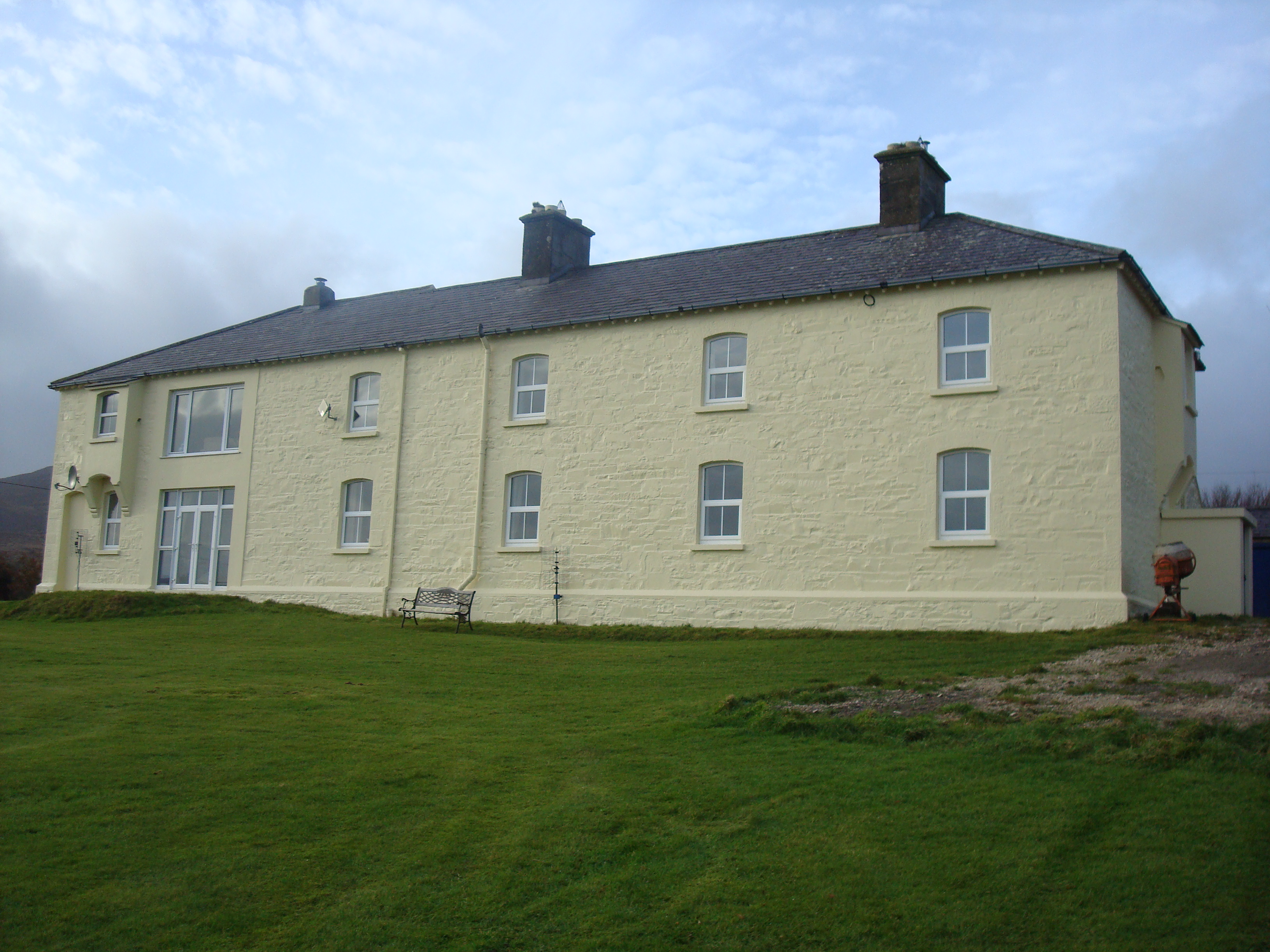 Knockalla Coastguard Stationcoastguard station · 1567 yd
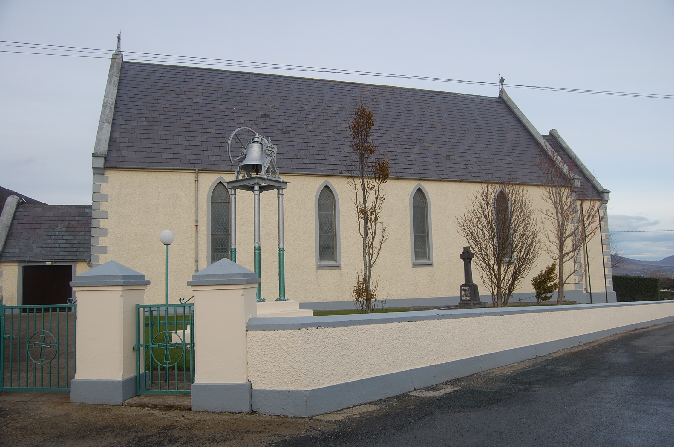 Saint Mary's Catholic Churchchurch/chapel · 1.4 mi
 Ballymastocker StrandViewpoint · 1.9 mi
 Wild Atlantic Way:Ballymastocker StrandVisitor information · 1.9 mi
 Castle Ross (Site of)Castle, unclassified · 2.3 mi
 Dunree CentreMuseum · 2.4 mi
 Dunree HeadHeadland · 2.4 mi
 Stragill BeachBeach / strand · 3.0 mi
 Neds Point FortFort · 3.8 mi
 Croaghan HillMountain / peak · 3.9 mi
Other information
Photo: Credit not shown in the picture search · Rights wording not checked; contact us if this picture should be removed