What is recorded here
Located on a N-facing slope on outcropping craggy rock, immediately to the S of a bend in the N59 Clifden-Westport road. Indicated and named ‘Carn’ on the 1838 edition of the OS 6-inch map; on the 1898 resurvey the words ‘Site of’ are appended. On inspection in May 1982 the cairn was overgrown with vegetation. Traces of a possible arc of it (L 4m; Wth 2m; H 0.5m) were visible on the W side but it was unclear whether this was natural or not. The cairn had been robbed considerably, probably when the house to its E was built. It was probably also disturbed when the road was laid down. On a re-inspection in November 1983 no visible surface traces of it were visible. Another cairn (GA023-054----) lies c. 65m to the SW.
Compiled by: Olive Alcock
Date of upload: 3 January 2019
Neolithic passage tomb; dates to the early to middle Neolithic period (c. 3500–2500 BCE). Its location on a prominent craggy slope suggests it was a significant ceremonial or burial site within the local prehistoric landscape.
The monument record does not grant public access. Check the route and ask the landowner before entering private land.
- What survives
- Recorded monument
Places near here
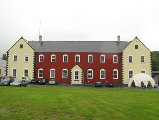 collegecollege · 409 yd
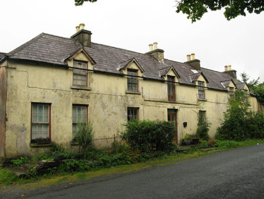 hotelhotel · 455 yd
 Connemara National Park Visitor CentreHeritage attraction · 607 yd
 Connemara National ParkNational park · 616 yd
 Holy well in Dawros MoreHoly well · 1164 yd
 Field system in Baunoge (ballynahinch By.)Field system · 1317 yd
 RoeillaunIslet · 1.8 mi
 Cabbage treeCabbage tree · 2.0 mi
 Monterey PineMonterey Pine · 2.6 mi
 DerrylahanMountain / peak · 2.7 mi
 Cnoc BreacMountain / peak · 2.7 mi
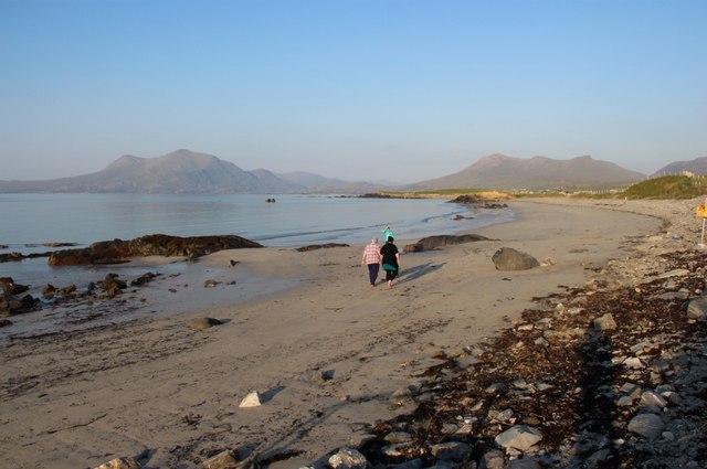 Renvyle BeachBeach / strand · 4.0 mi