What is recorded here
In pasture, at the E end of the summit of a ridge which affords a panoramic view. A circular sod-covered flat-topped mound of earth and stone (diam. 18.5m at base, 4.8m at top; H 4.2m). A small section of the top of the S edge of the mound has been dug away. The sides are steep and eroding in places. A field boundary (not shown on the 1838 OS 6-inch map) is immediately to NE. A rath (SL025-034----) lies c. 60m to SW.
The above description is derived from the published 'Archaeological Inventory of County Sligo' compiled by Ursula Egan, Elizabeth Byrne, Mary Sleeman with Sheila Ronan and Connie Murphy (Dublin Stationery Office, 2005).
Date of upload: 18 January 2008
Neolithic passage tomb; dates to approximately 2500–2000 BCE. Its location on a prominent ridge suggests it was a significant ceremonial or burial site with wide visibility in the landscape.
The monument record does not grant public access. Check the route and ask the landowner before entering private land.
- What survives
- Recorded monument
Places near here
 Enclosure in Knockadoo (leyny By.)Enclosure · 523 yd
 IndicatedFairy fort / earthen ringfort · 889 yd
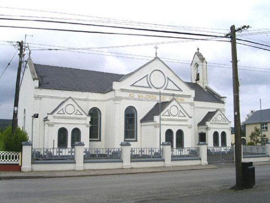 Catholic Church of the Sacred Heart and Saint Josephchurch/chapel · 1.2 mi
 Church (in Ruins)Church · 1.4 mi
 CloonaghMountain / peak · 2.8 mi
 KnocknasheeMountain / peak · 3.0 mi
 Moymlough Castle (in Ruins)Castle, tower house · 3.4 mi
 European ashEuropean ash · 3.5 mi
 Pigeonpark WoodForest · 3.7 mi
 Bawn in Longford DemesneBawn · 3.9 mi
 RinnatalleenHeadland · 4.8 mi
 Derinch PointHeadland · 5.0 mi