What is recorded here
Situated in pasture on the highest point in the area with wide views all round. Listed as 'Earthwork' in the RMP (1996), named 'Carn' on the OS 1st edition map and named 'Laght Finne' on the OS 6-inch map (1916). A mound (dims. at base 7m N-S; 6m E-W; H 0.3-0.6m), much overgrown, with a flat top (3.1m N-S; 3m E-W) and uneven edges. The name ‘O’Donoghue’s Chair’ (CL011-013002-) also appears on the OS 6-inch maps but there is no evidence of any stone or a stone structure at this location.
Compiled by: Mary Tunney
Date of upload: 17 February 2014
A Neolithic or early Bronze Age cairn; its location suggests ritual or funerary significance.
The monument record does not grant public access. Check the route and ask the landowner before entering private land.
- What survives
- Recorded monument
Places near here
 IndicatedEnclosure · 353 yd
 Bunnakippaun Castle (in ruins)Castle, unclassified · 692 yd
 TobermacduaghHoly well · 1522 yd
 Bawn in Fiddaun (kiltartan By.)Bawn · 1.0 mi
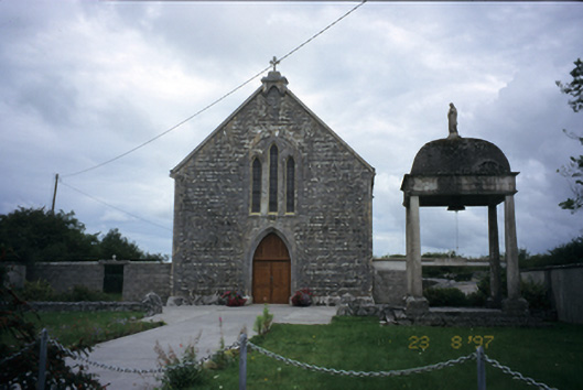 All Saints' Catholic Churchchurch/chapel · 1.6 mi
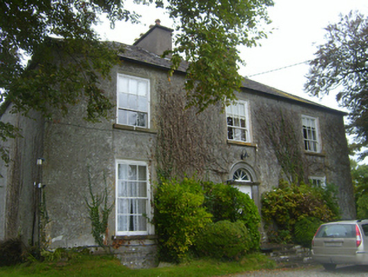 Lisheen Housecountry house · 1.6 mi
 Kilmacduagh MonasteryHeritage attraction · 1.9 mi
 Kilmacduagh Monastic SiteVisitor information · 1.9 mi
 Swan IslandIsland · 3.9 mi
 Slieve RoeMountain / peak · 4.1 mi
 Apple IslandWood · 4.3 mi
 Burren National ParkNature reserve · 4.3 mi