What is recorded here
In a prominent location on top of a gravel ridge near E shore of Lough Corrib. A much-disturbed subcircular cairn (NE-SW 26.1m, H 3.5m), now enclosed by a modern mortared stone wall and traversed by a field wall. A cist (NW-SE; L 1.4m, Wth 0.6m) was discovered in SE sector in 1907 when stones were being removed to build field walls. It lay upon cairn material above the old ground surface, and was formed by four rectangular but undressed sandstone flags set on edge, and floored and roofed by single slabs. It contained cremated bones, an Irish Vase with a lid, a miniature cup, a bronze dagger and awl, and a quartz pebble. Two flags set on edge within the cairn to WNW may have formed a second cist (Costello 1908, 159-64; Waddell 1975, 11; 1990, 89). An earthwork (GA055-001002-) stands 40m to NE.
The above description is derived from the published 'Archaeological Inventory of County Galway Vol. II - North Galway'. Compiled by Olive Alcock, Kathy de hÓra and Paul Gosling (Dublin: Stationery Office, 1999).
Date of upload: 05 August 2010
Neolithic cairn, dating to approximately 3000–2500 BCE. Its location on a prominent gravel ridge suggests it may have had ritual or ceremonial significance in the landscape.
The monument record does not grant public access. Check the route and ask the landowner before entering private land.
- What survives
- Recorded monument
Places near here
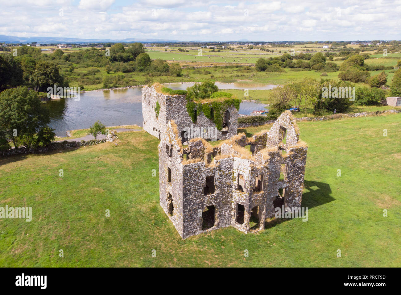 IndicatedEnclosure · 57 yd
 Annaghkeen CastleCastle · 475 yd
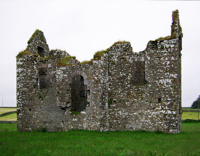 Annaghkeen Castle (in Ruins)Castle, Anglo-Norman masonry castle · 480 yd
 Country house in AnnaghkeenCountry house · 497 yd
.jpg?width=1280) Court tomb in CarrownakibCourt tomb · 907 yd
Court tomb in CarrownakibCourt tomb · 907 yd Rabbit IslandIslet · 1.2 mi
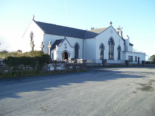 Saint Mary's Catholic Churchchurch/chapel · 1.3 mi
 BallynacreggaWood · 1.5 mi
 Freeheen IslandIslet · 1.6 mi
 Ross Errilly FriaryHeritage attraction · 3.2 mi
 Brigit's GardenHeritage attraction · 4.5 mi
 Annagh WoodWood · 4.9 mi