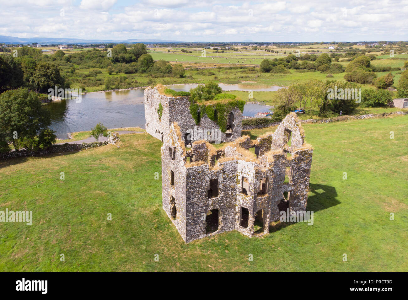
What is recorded here
At SE end of a low ridge and 40m NE of a cairn (GA055-001001-). Marked on 1st ed. of OS 6-inch map as a small hachured enclosure and on 3rd ed. (1922) as a roughly circular field (D c. 25m). The visible remains comprise a subcircular area (E-W 25m, N-S 22.2m) defined by a wide drystone wall built in short straight sections and not at all cashel-like in construction. There is a well-preserved entrance at W and the interior is slightly lower than the exterior. Probably a landscape feature built on the site of the earthwork.
The above description is derived from the published 'Archaeological Inventory of County Galway Vol. II - North Galway'. Compiled by Olive Alcock, Kathy de hÓra and Paul Gosling (Dublin: Stationery Office, 1999).
Date of upload: 05 August 2010
The monument record does not grant public access. Check the route and ask the landowner before entering private land.
- What survives
- Recorded monument
Places near here
 Annaghkeen CastleCastle · 530 yd
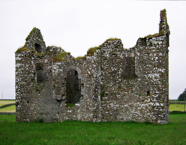 Annaghkeen Castle (in Ruins)Castle, Anglo-Norman masonry castle · 535 yd
 Country house in AnnaghkeenCountry house · 552 yd
.jpg?width=1280) Court tomb in CarrownakibCourt tomb · 855 yd
Court tomb in CarrownakibCourt tomb · 855 yd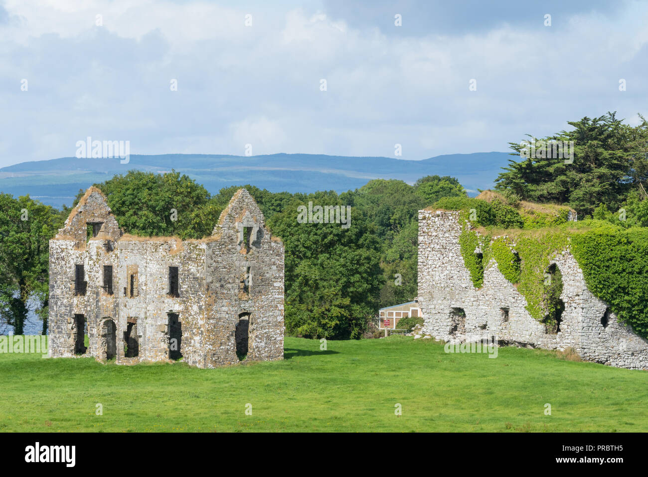 Enclosure in AnnaghkeenEnclosure · 1098 yd
 Rabbit IslandIslet · 1.2 mi
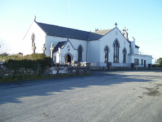 Saint Mary's Catholic Churchchurch/chapel · 1.3 mi
 BallynacreggaWood · 1.5 mi
 Freeheen IslandIslet · 1.6 mi
 Ross Errilly FriaryHeritage attraction · 3.2 mi
 Brigit's GardenHeritage attraction · 4.5 mi
 Annagh WoodWood · 5.0 mi
Other information
Photo: Credit not shown in the picture search · Rights wording not checked; contact us if this picture should be removed