
What is recorded here
Cappanacush Castle stands in ruins across County Kerry, its stones scattered like a broken sentence waiting for someone to finish. The land may have held halls, gardens and arguments now lost, while the remaining structure preserves only the shape of what disappeared.
Cappanacush Castle (ruins) is recorded as a castle in County Kerry. Its open map record supplies this location and any linked names or public references.
Cappanacush Castle was built in the 17th century by the O'Donovan family, a prominent Gaelic Irish clan in County Kerry. The castle is remembered as a historical symbol of the region's pre-colonial aristocracy and the subsequent decline of native Irish lordships during the 17th-century land confiscations.
Places near here
 Templenoe Churchchurch/chapel · 612 yd
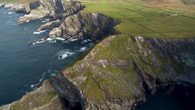 Indicated (1846).Enclosure · 656 yd
 Owing (Site of)Fairy fort / earthen ringfort · 692 yd
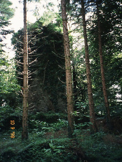 Dromore Castlefolly · 803 yd
 Coss StrandBeach / strand · 914 yd
 Dinish IslandIslet · 1.9 mi
 Dunkerron Island WestIslet · 2.1 mi
 Lackeen PointHeadland · 2.4 mi
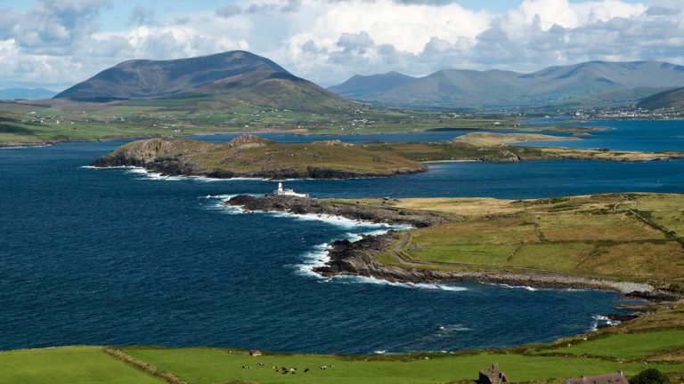 Letter SouthMountain / peak · 3.1 mi
 Dunkerron CastleCastle · 3.1 mi
 Feorus EastMountain / peak · 3.2 mi
 Uragh WoodForest · 3.9 mi
Other information
Photo: Credit not shown in the picture search · Rights wording not checked; contact us if this picture should be removed