What is recorded here
Caltragh Fort is a fairy fort or earthen ringfort in Drumraine (tirerrill By.), County Sligo, Ireland. The circular earthwork sits in rough pasture near the Arrow or Unshin River, with a possible northern entrance and an internal platform. Field boundaries and a trackway now cut through parts of the ancient bank.
In rough pasture, at the base of the gentle SE-facing slope of a ridge and to W of a bend in the Arrow or Unshin River. A circular area (36m N-S; 34m E-W) enclosed by an earthen bank (Wth 2.5m; int. H 0.9m; ext. H 0.3m) NW-SE. A curved field boundary and trackway replace the bank SE-SW. A N-S field boundary truncates the W edge of the rath. There is a possible entrance (Wth 3m) in the N arc. In the NE quadrant of the level interior is a subcircular platform (H 0.6m; diam. 14m) extending inwards from the enclosing bank. The rath is covered with overgrowth.
The above description is derived from the published 'Archaeological Inventory of County Sligo' compiled by Ursula Egan, Elizabeth Byrne, Mary Sleeman with Sheila Ronan and Connie Murphy (Dublin Stationery Office, 2005).
Date of upload: 18 January 2008
The monument record does not grant public access. Check the route and ask the landowner before entering private land.
- What survives
- Recorded monument
Places near here
 Rocks FortFairy fort / earthen ringfort · 186 yd
 Flanigans FortFairy fort / earthen ringfort · 436 yd
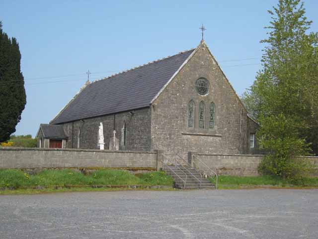 Saint Patrick's Catholic Churchchurch/chapel · 1607 yd
 Bellarush Br.Bridge · 1.1 mi
 Castle BaldwinCastle · 1.7 mi
 Riverstown Folk ParkHeritage attraction · 2.1 mi
 Bricklieve Castle (in Ruins)Castle, unclassified · 2.2 mi
 Annaghgowla IslandIslet · 2.4 mi
 InishmoreIslet · 2.9 mi
 School CaveCave · 3.3 mi
 Bricklieve MountainsMountain / peak · 3.3 mi
 Treanscrabbagh caveCave · 3.4 mi