What is recorded here
Calluragh Point marks the south tip of Inishmeane Island, where a buried field or forgotten grave may still lie beneath the grass. The name itself carries the shape of loss, suggesting people once laid others to rest beneath that exposed sky. Whether the point holds a forgotten churchyard or merely echoes an old belief in death and distance, it remains a sharp edge on the island, the kind of place where memory likes to gather.
At the S tip of Inishmeane Island is a place named Calluragh Point. This would normally indicate a burial ground but it was not possible to visit the site during the course of the survey.
The above description was derived from the 'Archaeological Survey of County Donegal. A description of the field antiquities of the County from the Mesolithic Period to the 17th century.' Compiled by: Brian Lacey with Eamon Cody, Claire Cotter, Judy Cuppage, Noel Dunne, Vincent Hurley, Celie O'Rahilly, Paul Walsh and Seán Ó Nualláin (Lifford: Donegal County Council, 1983). In certain instances the entries have been revised and updated.
Date of upload: 22 September 2008
The monument record does not grant public access. Check the route and ask the landowner before entering private land.
- What survives
- Recorded monument
Places near here
 Portarthur, DerrybegOfficial bathing water · 1547 yd
 farmyard complexfarmyard complex · 1.2 mi
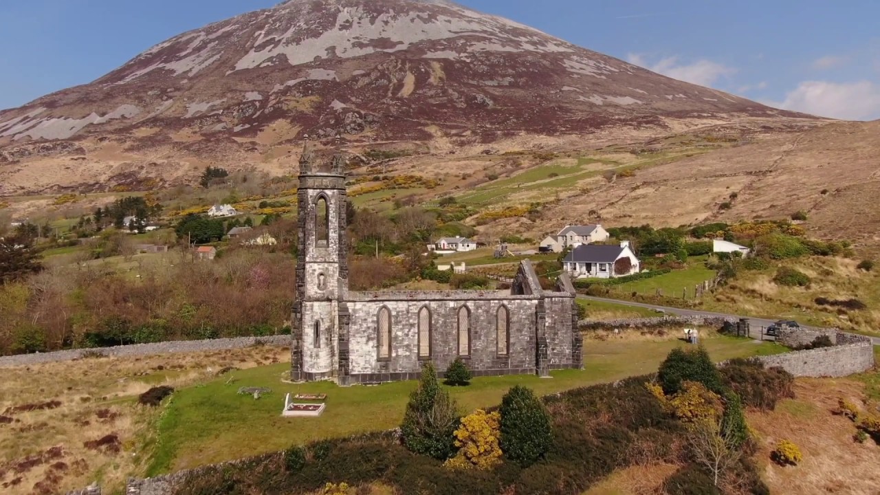 Magheragallan Old ChurchChurch · 1.2 mi
 Magheragallan Church EnclosureEnclosure · 1.3 mi
 Inis OirthirIsland · 1.3 mi
 Magheragallon Stone RingfortFairy fort / stone ringfort · 1.3 mi
 GabhlaIsland · 1.4 mi
 Inland CragCliff · 1.6 mi
 Main WallCliff · 1.8 mi
 Trá Dún MórBeach / strand · 2.3 mi
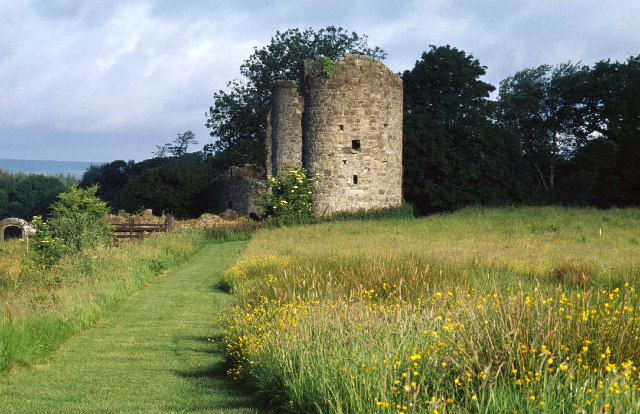 Old CastleCastle, unclassified · 3.8 mi
 Cnoc FolaMountain / peak · 3.9 mi