What is recorded here
Calluragh Burial Ground: This burial ground is located in a prominent position on top of a rocky knoll, on the E side of the Coomnahorna river valley. Of irregular plan, 18m NE-SW x 19m NW-SE, its enclosing element is poorly preserved and is obscured by overgrowth. It is faced externally with horizontal courses of drystone masonry and is flush with the internal ground level. It is 1.8m wide and is overlain at E and S by modern field walls. The N limits of the site are marked by four massive sections of rock outcrop. Within its interior are a series of low, rectangular, stony mounds; these average 1.8m x 1.4m, with the longer axes orientated NW-SE.
The above description is derived from A. O'Sullivan and J. Sheehan (compilers), 'The Iveragh peninsula: an archaeological survey of South Kerry'. Cork University Press (1996), no. 1013. In certain instances the entries have been revised and updated in the light of recent research.
Date of upload: 30 July 2013
Calluragh Burial Ground is a Bronze Age cairn or cist burial site, likely dating to the second millennium BCE. Its elevated position suggests ritual or ceremonial significance, typical of prehistoric funerary practices in such landscapes.
The monument record does not grant public access. Check the route and ask the landowner before entering private land.
- What survives
- Recorded monument
Places near here
 IndicatedFairy fort / stone ringfort · 652 yd
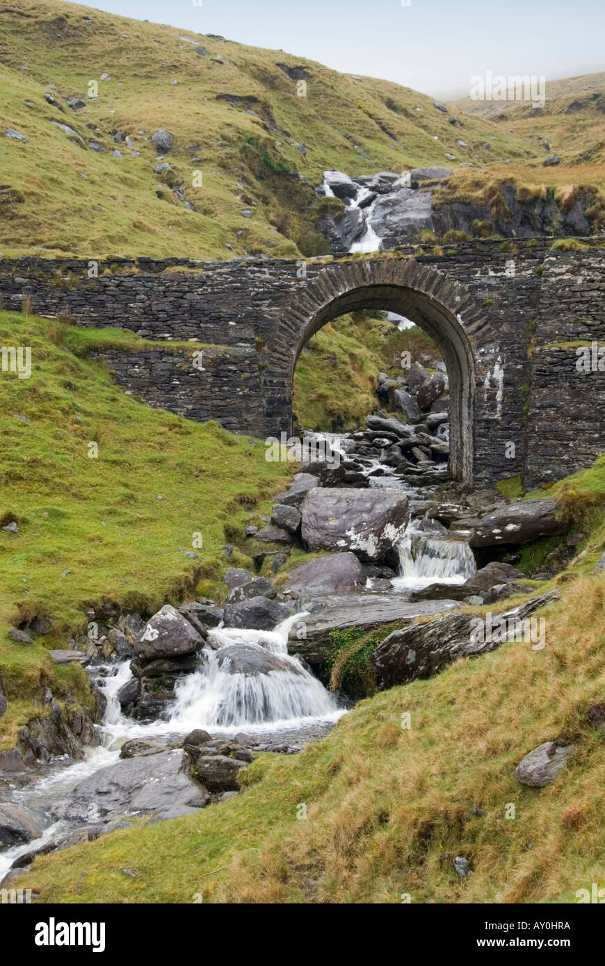 Indicated (1846).Fairy fort / stone ringfort · 772 yd
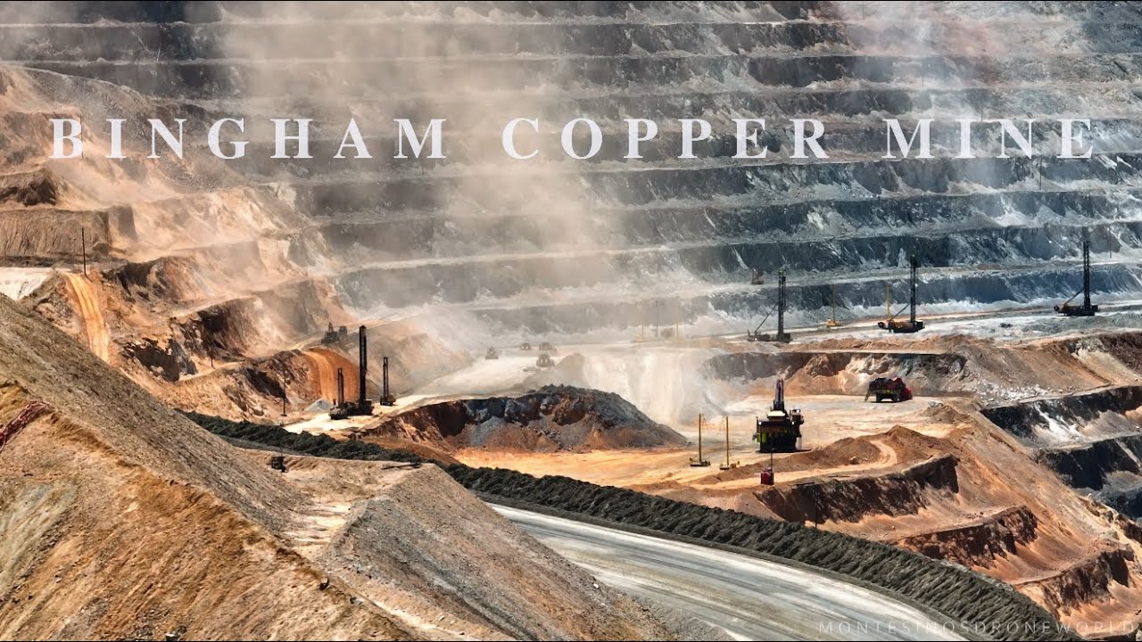 MineMine, copper · 963 yd
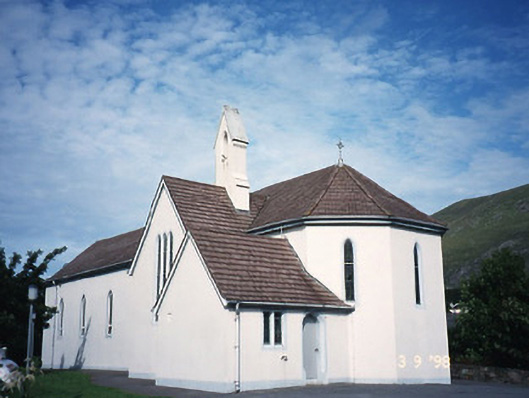 Saint Crohan's Catholic Churchchurch/chapel · 1342 yd
 Trá an Ghleanna Bhig / Glanbeg BeachBeach / strand · 1.3 mi
 Cahernageeha MountainMountain / peak · 1.3 mi
 Ogham StoneVisitor information · 1.7 mi
 Trá An Ráth / Rath BeachBeach / strand · 1.7 mi
 Mullach BogMountain / peak · 2.0 mi
 Derrynane House / Teach Dhoire FhionáinHeritage attraction · 2.1 mi
 Páirc Náisiúnta Stairiúil Dhoire Fhíonáin / Derrynane National Historic ParkNature reserve · 2.1 mi
 Castle Cove (in Ruins)Castle, tower house · 2.1 mi