What is recorded here
Calluragh Burial Ground: This site is incorrectly positioned on the first edition of the OS map, but the mistake is rectified on the second edition. It is situated in rough pasture, overlooking Cove Harbour to E, and survives as a roughly oval-shaped enclosure with internal dimensions of 27m N-S x 22.6m E-W. It is heavily overgrown and the original enclosing wall is almost completely obscured; its upper courses appear to have been partly rebuilt in recent times. The interior of the site is raised by an average of 2m above external ground level. Its uneven surface is dotted with low sod-covered mounds and a number of upright grave-markers.
The above description is derived from O'Sullivan, A. and Sheehan, J. (compilers) 'The Iveragh peninsula: an archaeological survey of South Kerry'. Cork University press. (1996), no. 984. In certain instances the entries have been revised and updated in the light of recent research.
Date of upload: 18 June 2013
A Neolithic passage tomb; its significance lies in its association with early burial practices and the corrected mapping indicating its long-standing recognition in the landscape.
The monument record does not grant public access. Check the route and ask the landowner before entering private land.
- What survives
- Recorded monument
Places near here
 IndicatedEnclosure · 1 yd
 Trá an Ghleanna Bhig / Glanbeg BeachBeach / strand · 641 yd
 Fairy fort / stone ringfort in BrackaharaghFairy fort / stone ringfort · 715 yd
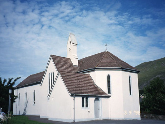 Saint Crohan's Catholic Churchchurch/chapel · 1.0 mi
 Reen BeachBeach / strand · 1.0 mi
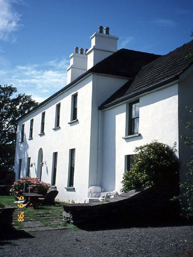 Westcove Househouse · 1.1 mi
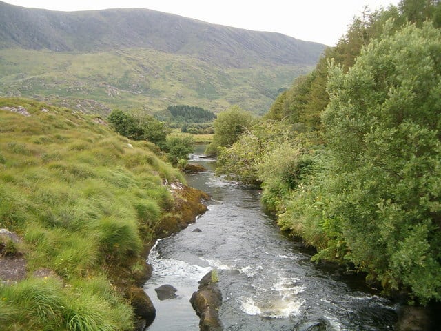 Eagle HillMountain / peak · 1.8 mi
 Ogham StoneVisitor information · 1.9 mi
 Castle Cove (in Ruins)Castle, tower house · 1.9 mi
 Cahernageeha MountainMountain / peak · 2.2 mi
 Derrynane House / Teach Dhoire FhionáinHeritage attraction · 2.2 mi
 Páirc Náisiúnta Stairiúil Dhoire Fhíonáin / Derrynane National Historic ParkNature reserve · 2.3 mi