What is recorded here
Mortals chafed at the idea of wasting good grazing land on the dead, so they ploughed Calluragh Burial Gd. flat and forced the forgotten to share the soil with living pasture. That choice still irritates the valley, for bones and headstones keep surfacing beneath the furrow, refusing to stay buried or irrelevant. The dead did not ask to be forgotten, only to be remembered without taking land from the living.
The 'Calluragh' or 'Burial Ground' which the 2nd and 3rd editions of the OS 6-inch maps indicate here has been levelled in the course of land cultivation. Bones and headstones are said to turn up in the course of ploughing. It is sited in good grazing land on the S-facing slope of the Kildarragh River valley.
The above description was derived from the 'Archaeological Survey of County Donegal. A description of the field antiquities of the County from the Mesolithic Period to the 17th century.' Compiled by: Brian Lacey with Eamon Cody, Claire Cotter, Judy Cuppage, Noel Dunne, Vincent Hurley, Celie O'Rahilly, Paul Walsh and Seán Ó Nualláin (Lifford: Donegal County Council, 1983). In certain instances the entries have been revised and updated.
Date of upload: 22 September 2008
The monument record does not grant public access. Check the route and ask the landowner before entering private land.
- What survives
- Recorded monument
Places near here
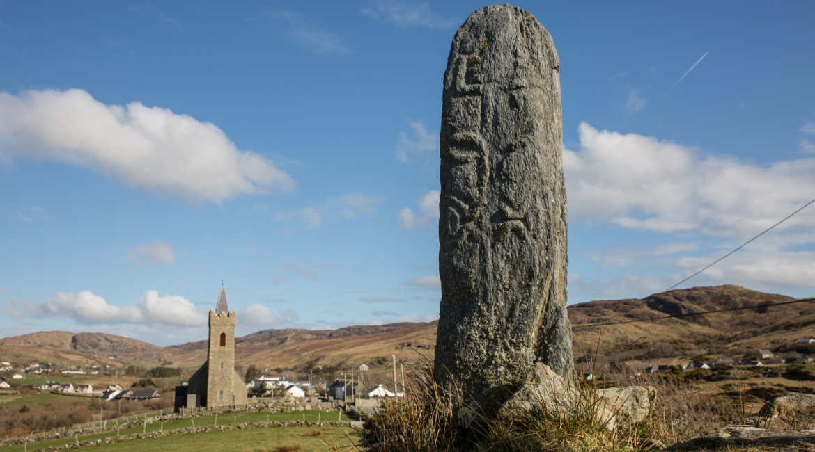 St. Columbkilles WellHoly well · 997 yd
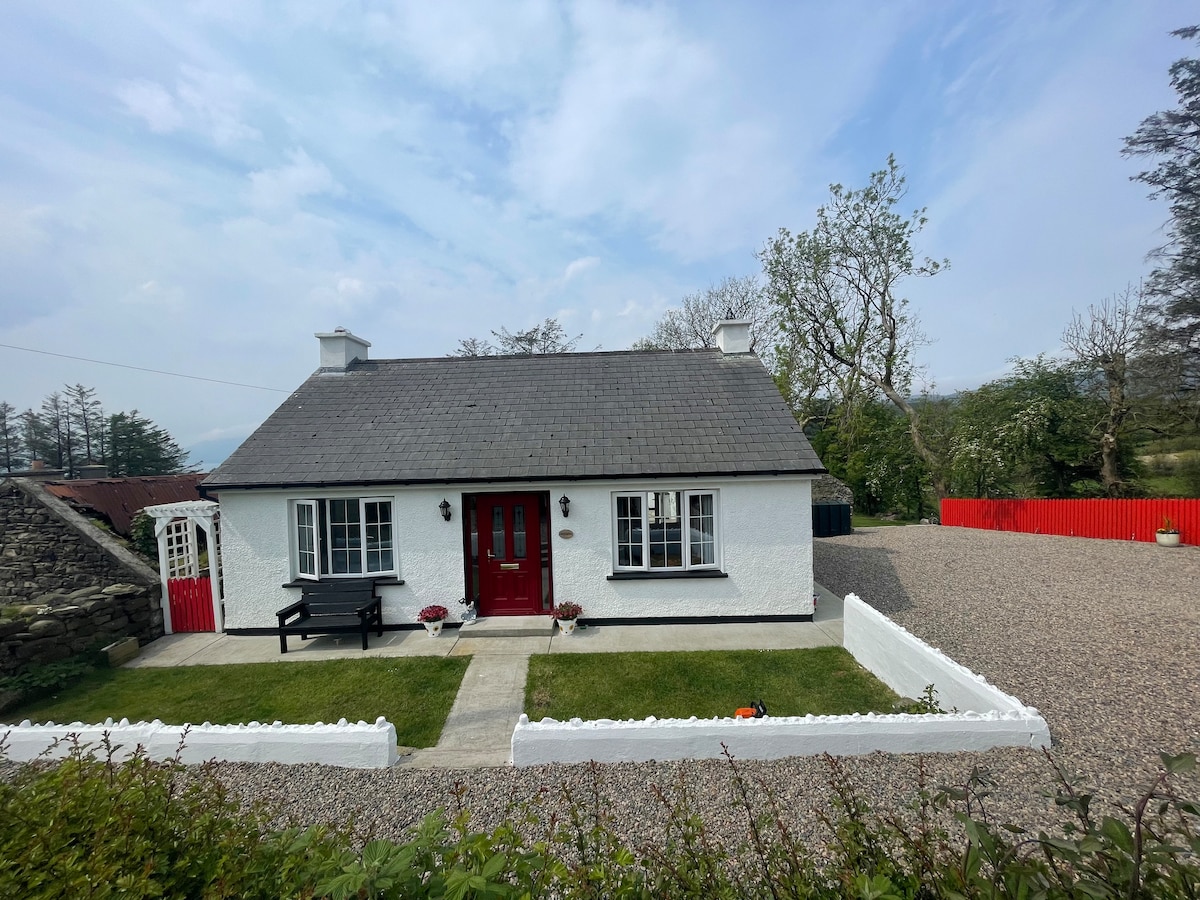 Dermot & Grania's BedArchaeological place · 1.1 mi
 Ards Forest ParkForest recreation place · 1.1 mi
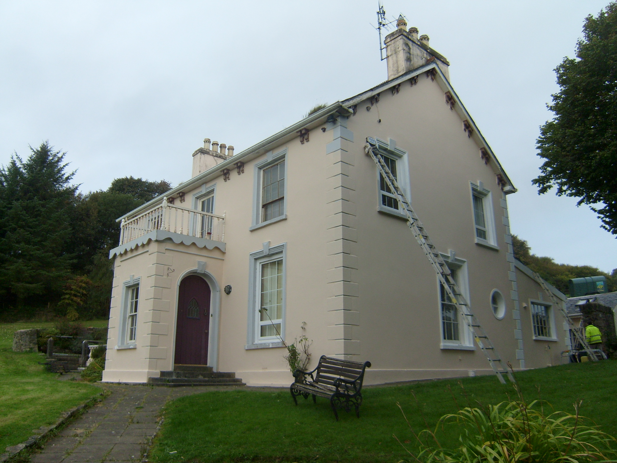 The Mansemanse · 1.3 mi
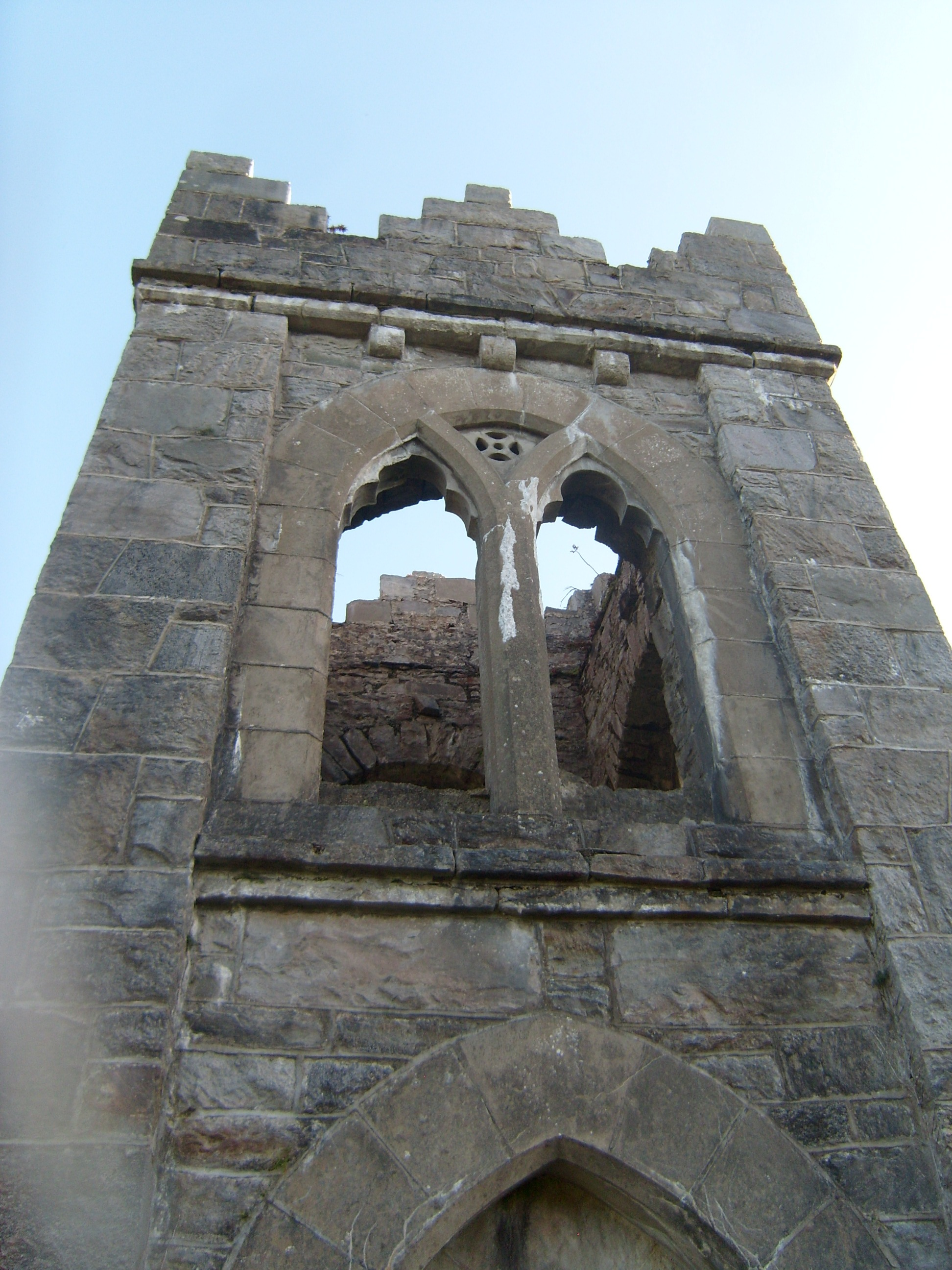 follyfolly · 1.3 mi
 Boys IslandIslet · 1.5 mi
 The TunnelHeritage attraction · 1.6 mi
 Local Wildlife presentationVisitor information · 2.0 mi
 Mc Swynes CastleCastle, unclassified · 2.2 mi
 Kill Old Church GraveyardGraveyard · 2.2 mi
 Castle (Site of)Castle, unclassified · 2.7 mi
 Lockheed Hudson bomber 1942Memorial · 2.8 mi