
What is recorded here
Walnut trees shade the eastern scarp of Caldragh Fort, their roots drinking from the narrow drain that still cuts across the rising ground. The oval measures ninety-eight metres, large enough to hold a church, a hall and every child the community loved, yet no building remains except the shape of the ground itself. A five-metre gap faces north, waiting for a road, a bridge or a procession that has stopped coming.
In an area of undulating pastureland. This oval enclosure (98m N-S; 85m E-W), which encompasses a hummock, is defined by an earthen bank (Wth 8.8m; int. H 0.25m; ext. H 1.25m) from S to SW; elsewhere a scarp (H 0.8-1.5m) forms the enclosing element. The latter is partially denuded from E to S where it planted with walnut trees. A gap at N (Wth 5.3m) may be original. The interior rises towards the centre. A narrow NE-SW running drain cuts across it from ESE to S. There is a children's burial ground (GA100-126002-) in the W half. It is surrounded by mature trees. The large size of the enclosure and presence of the children's burial ground suggest it may be an early ecclesiastical enclosure.
Compiled by: Galway Archaeological Survey, UCG
Updated by: Olive Alcock
Date of revised upload: 27 March 2020
The monument record does not grant public access. Check the route and ask the landowner before entering private land.
- What survives
- Recorded monument
Places near here
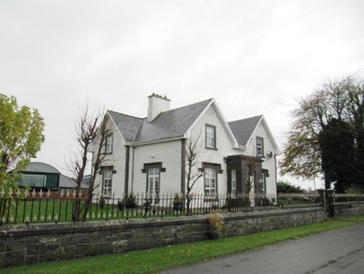 Lismanny Househouse · 260 yd
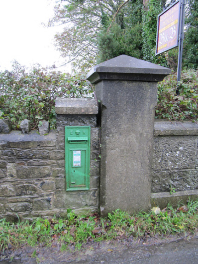 post boxpost box · 1251 yd
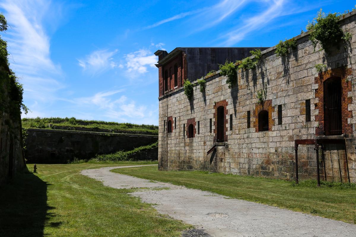 Bastioned fort in Cloonascragh (longford By.)Bastioned fort · 1749 yd
 Oghil Castle (in ruins)Castle, tower house · 1.0 mi
 EnclosureEnclosure, large enclosure · 1.1 mi
 Silver FirSilver Fir · 2.4 mi
 Ballymore CastleCastle, tower house · 2.4 mi
 Ardcarn IslandsIslet · 2.7 mi
 European BeechEuropean Beech · 2.8 mi
 Redmond HillMountain / peak · 3.2 mi
 Sugarloaf HillMountain / peak · 4.4 mi
 Clonfert CathedralHeritage attraction · 5.2 mi
Other information
Photo: Credit not shown in the picture search · Rights wording not checked; contact us if this picture should be removed