What is recorded here
Thirty stone cairns still mark a narrow pasture slope where Dooneens leans westward. They are not scattered debris but repeated choices, each pile laid across bedrock until the field became a registry of human attention. A wind farm once threatened that quiet ledger, forcing the stones back into human argument. They survived the survey because someone had spent centuries making them visible.
Described by Quinn and Carroll (2010) as ‘Located in rough pasture on a SW facing slope. Field is enclosed by a stone wall which is shown on the latest Edition OS mapping. The wall survives to 4 courses in height and is of random construction. Field measures 103m NNW/SSE by 72m NE/SW. The enclosing wall measures 0.6m in width and 0.8m in height. Contains 30 cairns of stone. Cairns consist of regularly constructed piles of stone frequently on a base of bedrock. Average dimensions: Length 2.6m, Width 1m, Height 0.9m.'
Quinn, A and Carroll, M (2010) ‘Archaeological, Architectural and Cultural Heritage Assessment for a Proposed Wind Farm at Doonens Co. Cork’, Unpublished report, Tobar Archaeological Services.
Compiled by: Denis Power
Date of upload: 22 August 2013
A Neolithic cairnfield, dating to the 4th–3rd millennia BCE, indicating early agricultural activity and ritual practices in the region.
The monument record does not grant public access. Check the route and ask the landowner before entering private land.
- What survives
- Recorded monument
Places near here
 Field boundary in Dooneens (muskerry West By., Inchigeelagh Par.)Field boundary · 242 yd
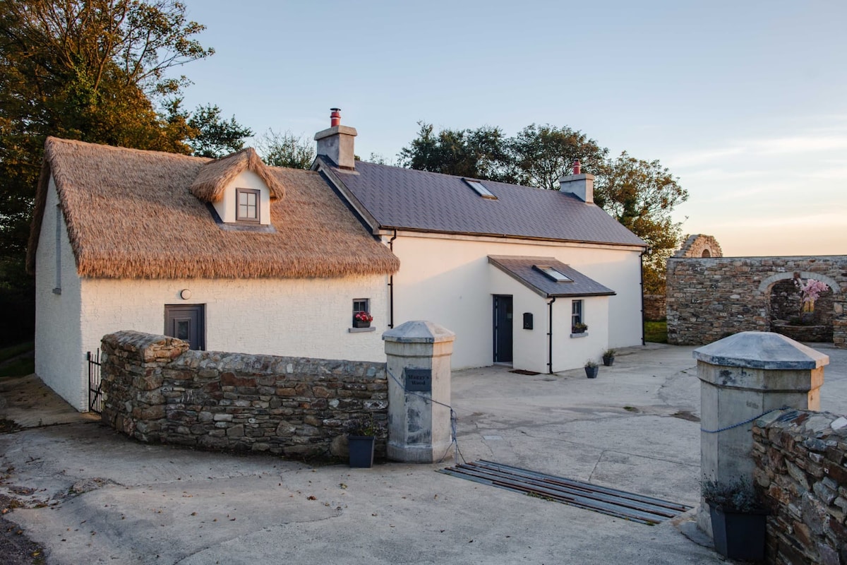 Hut site in Dooneens (muskerry West By., Inchigeelagh Par.)Hut site · 353 yd
 Doughill MountainMountain / peak · 1420 yd
 Douce MountainMountain / peak · 1.2 mi
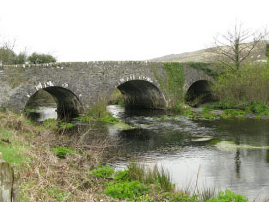 Inchinossig Bridgebridge · 2.4 mi
 Stepping StonesClapper bridge · 2.4 mi
 Gougane BarraValley and heritage place · 2.5 mi
 European ashEuropean ash · 2.7 mi
 Gortnahoughtee Mass RockNamed rock · 4.7 mi
 St Finbarr's Pilgrim RouteWalking route · 4.9 mi
 Togher CastleCastle, tower house · 5.8 mi
 Sli Gaeltacht MuscraiWalking route · 6.4 mi