What is recorded here
On the opposing slopes of Barranacullia and Knocknagearagh in the Knockmealdown Mountain range, both slopes overlooking a river valley, the river flows into the River Suir c. 3.5km to the N at Newcastle. Diarmuid O’Keeffe (unpublished 1996) identified c. 70 cairns on the SW slopes of Barranacullia in an area of 70 hectares , running over 1km N-S and c. 700m E-W. The majority straddle the 700-800ft contour, with some just below and others above these contours. The most northerly cairn is 17.8m NE of an enclosure (TS091-009001-) and is composed of sandstone rubble (dims. 4.1m N-S; 4m E-W; H 0.5m). There is also an oval cairn (dims. 4.6m N-S; 3.5m E-W; H 0.5m) 14m N of the enclosure and at least four low cairns 10-20m to NNW. Another cairn (dims. 4.2m N-S; 3.9m E-W; H 0.19-0.65m) composed of sandstone and quartz rubble is located 35m W of a possible hut site (TS091-009006-). On the SE slope of Knocknagearagh O’Keeffe (ibid.) identified a cluster of c. 7 clearance cairns c. 180m SW of an enclosure (TS091-009008-) and another cluster of c. 50 cairns S of this, in an area of 17.5 hectares, running over a distance of c. 500m N-S and c. 350m E-W, with an enclosure (TS091-009007-) near the northern limit of this cluster and two possible hut sites (TS091-009010-; TS091-009011-) in the SE. These clearance cairns straddle either side of a 700ft contour. A number of enclosures (TS091-009001-; TS091-009007-; TS091-009008-; TS091-009009-; TS091-009012-), hut sites (TS091-009003-; TS091-009004-; TS091-009010-; TS091-009011-; TS091-009015-), a possible ring-cairn (TS091-009002-) and a field system (TS091-009013-) are associated with these clearance cairns. A larger cairn (TS091-009016-), which may not be a clearance cairn, is located c. 14m E of a possible hut site (TS091-009006-).
Compiled by: Jean Farrelly
Date of upload: 26 February 2014
Cairnfield in Clashganny West is a Neolithic cairnfield, dating to the 4th–3rd millennia BCE. Its location within a mountainous landscape suggests it was part of a wider ritual or funerary landscape associated with early farming communities in the region.
The monument record does not grant public access. Check the route and ask the landowner before entering private land.
- What survives
- Recorded monument
Places near here
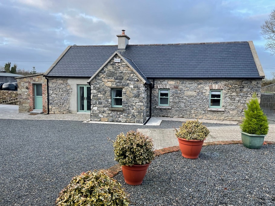 Hut site in Clashganny WestHut site · 41 yd
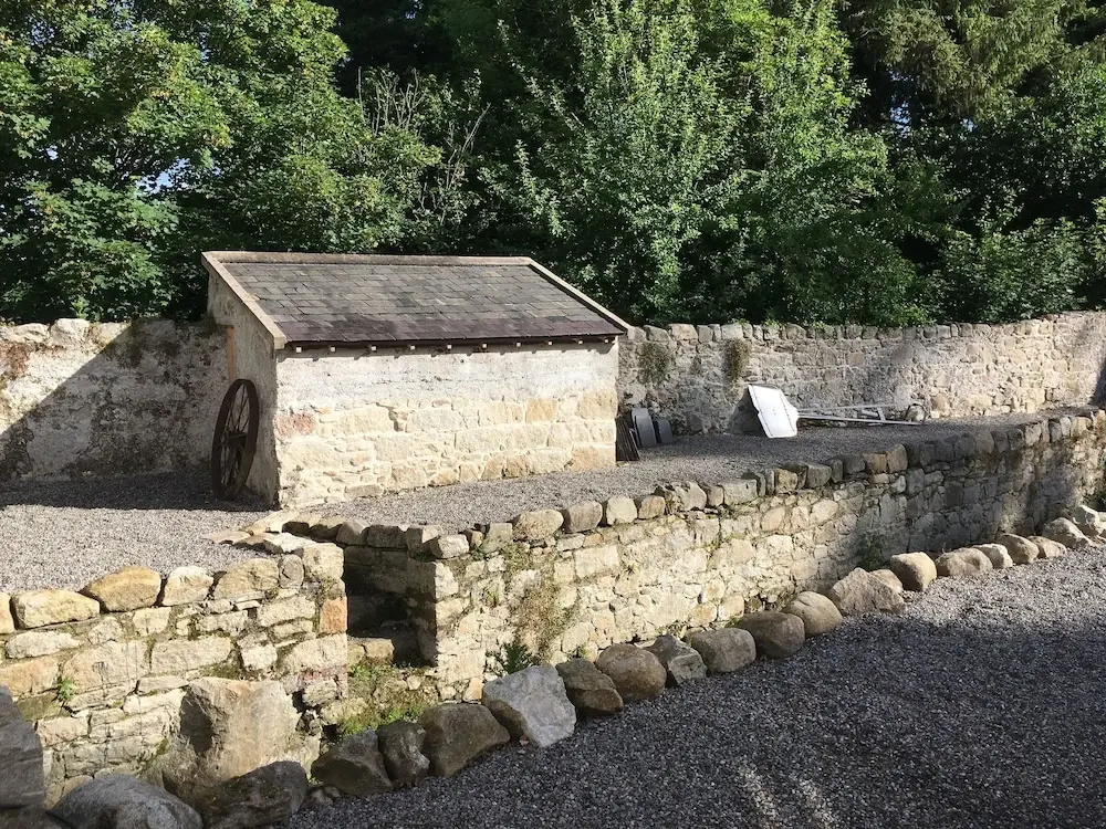 Enclosure in Clashganny WestEnclosure · 782 yd
 Curraghcloney CastleCastle · 1.7 mi
 Church in Clashganny EastChurch · 2.1 mi
 BroemountainMountain / peak · 2.1 mi
 KnocknanaskMountain / peak · 2.2 mi
 Catholic Church of Our Lady of the Assumptionchurch/chapel · 2.2 mi
 Bawn in FrehansBawn · 3.0 mi
 European long distance path E8 - part IrelandWalking route · 3.8 mi
 Glenshelane WoodsForest · 4.5 mi
 Kildanogue wildfowl sanctuary and nature reserveNature reserve · 4.5 mi