What is recorded here
Levallyclanone still hides a prehistoric cairn somewhere beneath its soil, though no marker exists to point it out. The stones may have marked a burial, a boundary or a warning, but human hands have already scattered or buried them. What remains is a gap in the landscape, forcing imagination to build what memory forgot.
The official Northern Ireland record identifies this as CAIRN (unlocated). Recorded period: PREHISTORIC. The official map point was placed at the centre of the recorded archaeological site from the source map reference.
The monument record does not grant public access. Check the route and ask the landowner before entering private land.
- What survives
- Recorded monument
Places near here
 The Fairy GlenWalking route · 688 yd
 CHURCH in RosstrevorCHURCH · 778 yd
 Presbyterian ChurchChurch · 812 yd
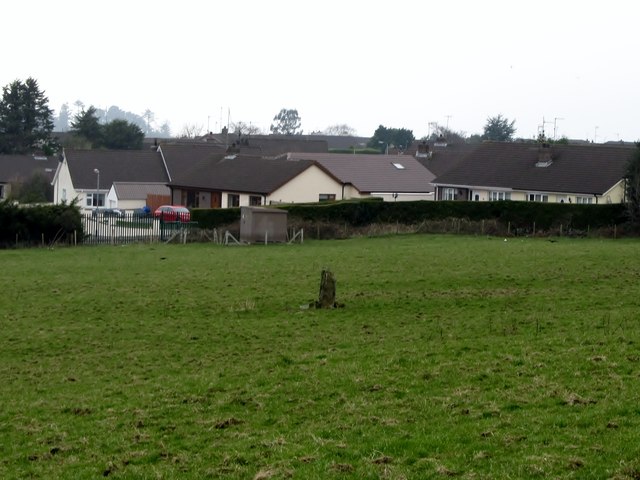 Kilbroney Standing StoneArchaeological place · 872 yd
 CROSSES (2); MULTIPERIOD CHURCH; GRAVEYARDS; HOLY WELL: KILBRONEY or ST.BRIDGET'S WELL in KilbroneyCROSSES (2); MULTIPERIOD CHURCH; GRAVEYARDS; HOLY WELL: KILBRONEY or ST.BRIDGET'S WELL · 1007 yd
 Ballymoney WoodForest · 1013 yd
 Ross MonumentMonument · 1315 yd
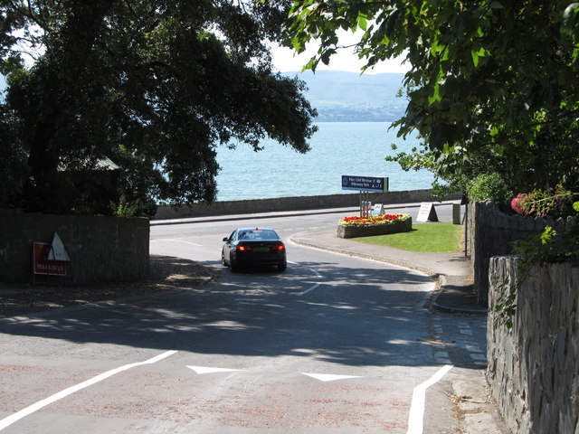 Kilbroney ParkVisitor information · 1472 yd
 FORTIFICATION: TREVORS CASTLE (unlocated) in RosstrevorFORTIFICATION: TREVORS CASTLE (unlocated) · 1541 yd
 Dobbin's PointHeadland · 1.5 mi
 SlievemartinMountain / peak · 1.6 mi
 Rostrevor ForestForest · 1.7 mi