What is recorded here
Half-buried in the bog, the small circular mound still stands beside a broken field wall, watching Lough Inchiquin through the valley mist. Its scattered stones and grassy top suggest people once worked that slope, marked a boundary, remembered a death or simply shaped the land to their liking. The cairn no longer answers questions, but it preserves the shape of human attention on an old hillside.
In rough hill pasture, on a NE-facing slope, overlooking the valley of Lough Inchiquin. A circular cairn (diam. 3m; H 0.8m) of stones, varying in size and shape, protrudes above the surface of the bog. Parts of the upper surface are grass-covered and the lower courses are disturbed with stones scattered around the perimeter. This cairn is 25m W of a relict wall which forms part of a network of field boundaries (KE101-101001-).
The above description is derived from the published 'Archaeological Inventory of County Kerry. Volume I: South-West Kerry' (Dublin: Stationery Office, 2009). In certain instances the entries have been revised and updated in the light of recent research.
Date of upload: 30 May 2011
A Neolithic cairn; its location and construction suggest a ritual or funerary function, typical of early farming communities in the region.
The monument record does not grant public access. Check the route and ask the landowner before entering private land.
- What survives
- Recorded monument
Places near here
 Enclosure in UraghEnclosure · 539 yd
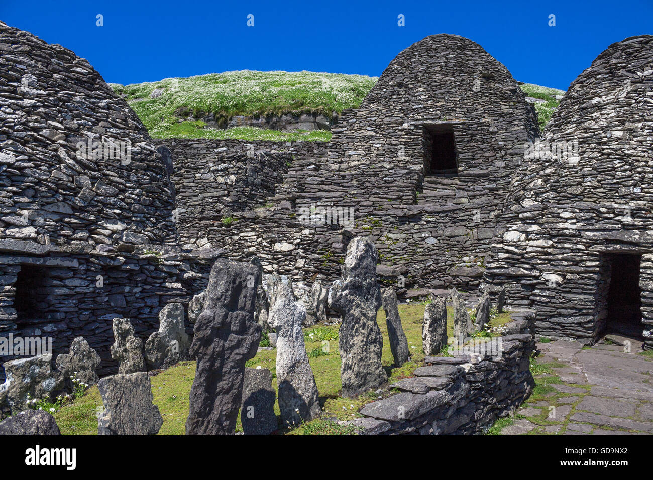 Hut SiteArchaeological place · 722 yd
 Famine HouseRuins · 886 yd
 Uragh Wood Nature ReserveNature reserve · 1502 yd
 Uragh WoodForest · 1506 yd
 CummeenanimmaMountain / peak · 1.3 mi
 Ardea Br.Bridge · 1.7 mi
 Gleninchaquin ParkHeritage attraction · 2.1 mi
 Gleninchaquin WaterfallWaterfall · 2.1 mi
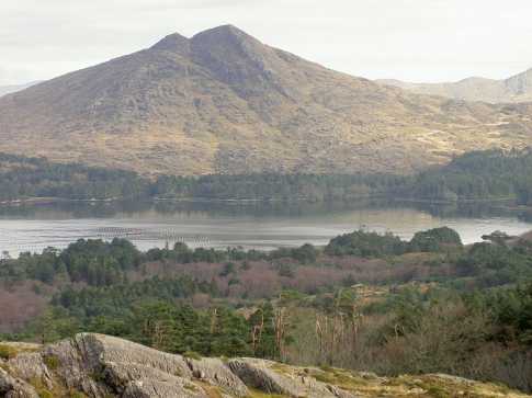 CoomnadihaMountain / peak · 2.2 mi
 Ormond's IslandIslet · 2.4 mi
 DroppaCliff · 2.7 mi