What is recorded here
Half a metre of grass and stone on a wide plateau in County Leitrim. Inside the low circle, small upright markers outline a chamber four and a half metres long, large enough for a person to lie down or a family to gather around a dead relative. The cairn is not grand, but it is exact: a flat disc of memory set on open ground, with two older or younger enclosures leaning against it like hands on a shoulder.
Situated on a rise on the broad plateau of Tullyskeherny. A low, grass-covered cairn (diam. 10.7m; H 0.3-0.6m) has a possible cist (dims 4.5m E-W; 2.3m N-S), defined by small upright stones at the centre. Two enclosures (LE011-036002; LE011-036003-) are attached to the NE and SW respectively.
The above description is derived from 'The Archaeological Inventory of County Leitrim' compiled by Michael J. Moore (Dublin: Stationery Office, 2003). In certain instances the entries have been revised and updated in the light of recent research.
Date of upload: 23 September 2008
A Neolithic cairn with a possible central cist, dating to the 4th–3rd millennium BCE. Its presence indicates early ritual or burial activity in the Tullyskeherny area.
The monument record does not grant public access. Check the route and ask the landowner before entering private land.
- What survives
- Recorded monument
Places near here
 IndicatedEnclosure · 12 yd
 CashelEnclosure · 62 yd
 The Giants GraveArchaeological place · 272 yd
 Cloonclare Church (in Ruins)Church · 1.1 mi
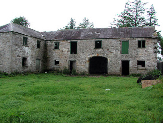 Hollymountoutbuilding · 1.4 mi
 Giants RockNamed rock · 1.7 mi
 BenboMountain / peak · 2.8 mi
 Ballaghnabehy TopMountain / peak · 3.2 mi
 Kilroosk RockNamed rock · 4.3 mi
 Ashisland WoodForest · 4.3 mi
 Longhill WoodForest · 4.5 mi
 Castle CarCastle · 4.6 mi