
What is recorded here
Half a meter high and four meters across, the mossy circle sits in shallow bog above Glengarriff Harbour, watching Whiddy Island through gorse and rush. Its kerb of contiguous slabs still marks the NE-S edge, though nearby sheep may have stripped some stones for a shelter fifteen meters east. The cairn has lost height but kept its shape, holding a forgotten boundary between pasture, tide and time.
In rough rush and gorse-covered pasture, on a S-facing hillslope overlooking Glengarriff Harbour and Whiddy Island. The partially moss-covered remains of a circular cairn (diam. 4m; H 0.6m), consisting of a variety of stones, are defined by a kerb of contiguous slabs NE-S that protrude from shallow bog. Some of the stones may have been used to build an animal shelter situated c. 15m to the E.
The above description is derived from 'The Archaeological Inventory of County Cork. Volume 5' (Dublin: Stationery Office, 2009).
Date of upload: 22 December 2009
A Neolithic cairn; its location offers a strategic view of Glengarriff Harbour, suggesting possible ritual or territorial significance in the prehistoric landscape.
The monument record does not grant public access. Check the route and ask the landowner before entering private land.
- What survives
- Recorded monument
Places near here
 Enclosure in Tooreen (bear By., Kilcaskan Ed)Enclosure · 335 yd
 Wedge tomb in Tooreen (bear By., Kilcaskan Ed)Wedge tomb · 558 yd
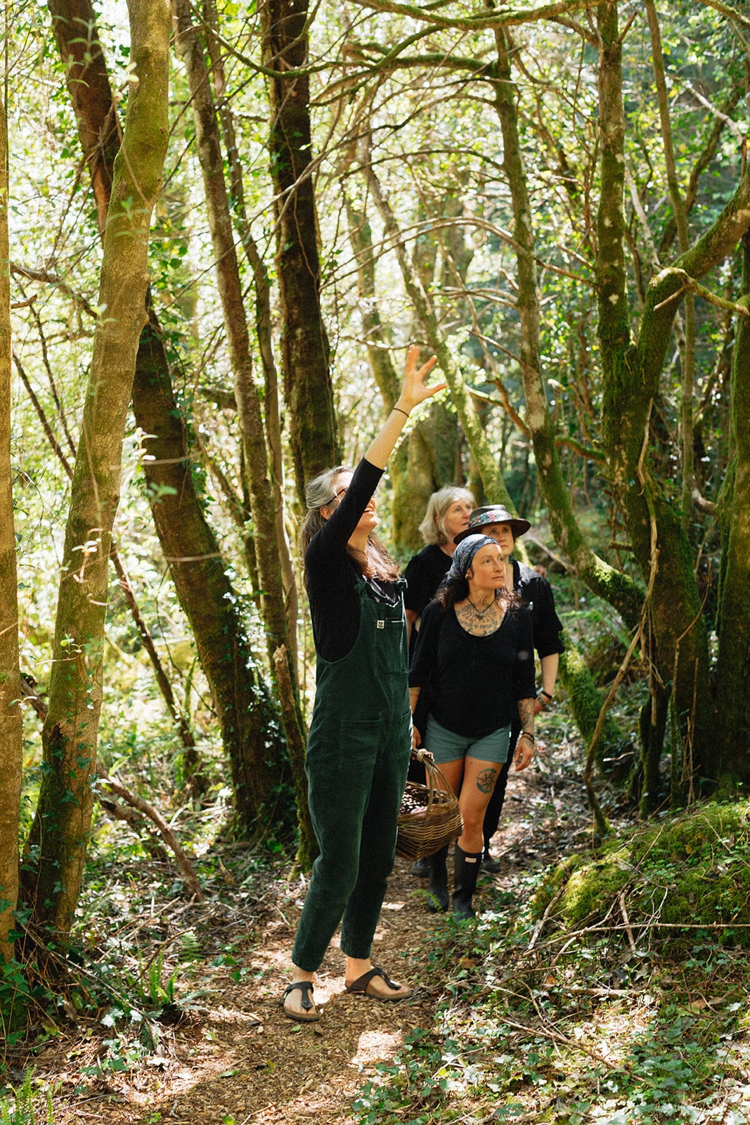 Esk MountainMountain / peak · 948 yd
 Turners RockMountain / peak · 1082 yd
 Molly Gallivan's Cottage & Traditional FarmMuseum · 1.4 mi
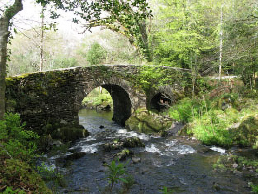 Glengarriff Nature Reservebridge · 1.8 mi
 Glengarriff WoodsWood · 2.0 mi
 Lady Bantry's LookoutViewpoint · 2.1 mi
 Sacred Heart Roman Catholic Churchchurch/chapel · 2.1 mi
 Graveyard in CappyaughnaGraveyard · 2.3 mi
 Tasmanian bluegumTasmanian bluegum · 2.3 mi
 The Blue PoolHeritage attraction · 2.4 mi
Other information
Photo: Credit not shown in the picture search · Rights wording not checked; contact us if this picture should be removed