What is recorded here
On level pasture at the base of an E-W ridge. It is not marked on the 1837 edition. Marshy ground, marked by an extensive spread of rushes, now marks the site of a pool of water which is marked on the 1913 edition of the OS 6-inch map. Ó Nualláin (1989, 95) recorded a rectangular area (dims. c.3m x c.2m) covered by stones up to 0.6m in maximum dimension. He believed that this was unlikely to represent the remains of a megalithic tomb. Only a few isolated stones, forming no discernible pattern, are now identifiable.
Compiled by: Patrick F. O'Donovan
Date of upload: 19 January 2011
The monument record does not grant public access. Check the route and ask the landowner before entering private land.
- What survives
- Recorded monument
Places near here
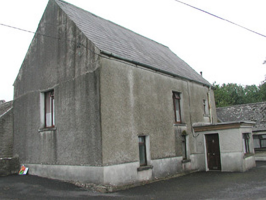 Stand Househouse · 543 yd
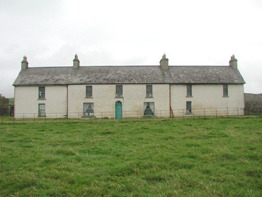 Toberpatrick Lodgehouse · 613 yd
 CastleCastle, Anglo-Norman masonry castle · 621 yd
 Enclosure in ArdabroneEnclosure · 634 yd
 CaveMan-made underground passage · 1098 yd
 Dunmoran StrandBeach / strand · 1.2 mi
 Bawn in CarrowbrickeenBawn · 1.5 mi
 Derkmore PointHeadland · 1.9 mi
 Aughris BeachBeach / strand · 2.1 mi
 Giant's GraveArchaeological place · 2.8 mi
 Sligo BayBay · 2.9 mi
 Lahanacappul IslandIslet · 3.1 mi