What is recorded here
Cairn sits on a low rocky ridge beneath Coomnadiha Mountain, its circular slabs half-swallowed by blanket bog. The stones protrude like broken teeth through the dark earth, marking a boundary or memory now lost to time. Someone stacked them deliberately, perhaps to claim a view, honour the dead or simply resist the mountain's tendency to erase human traces. The bog has taken back most of the shape, but the ridge still holds its line against the slope.
On a low rocky ridge, covered with blanket bog, on the SE-facing slope of Coomnadiha Mountain. A roughly circular cairn (diam. c. 2.8m; H 0.8m) mainly comprised of slabs of various shapes and sizes. Some of the stones along the perimeter protrude above the bog.
The above description is derived from the published 'Archaeological Inventory of County Kerry. Volume I: South-West Kerry' (Dublin: Stationery Office, 2009). In certain instances the entries have been revised and updated in the light of recent research.
Date of upload: 30 May 2011
The monument record does not grant public access. Check the route and ask the landowner before entering private land.
- What survives
- Recorded monument
Places near here
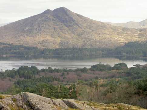 CoomnadihaMountain / peak · 287 yd
 Enclosure in Baurearagh (glanarought By., Banawn Ed)Enclosure · 1202 yd
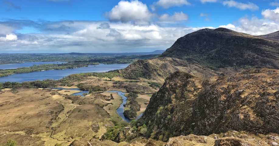 Eagles NestMountain / peak · 1392 yd
 DroppaCliff · 1.4 mi
 Gleninchaquin WaterfallWaterfall · 1.4 mi
 Enclosure in GlantrasnaEnclosure · 1.5 mi
 Gleninchaquin ParkHeritage attraction · 1.6 mi
 Uragh Wood Nature ReserveNature reserve · 1.7 mi
 Uragh WoodForest · 2.0 mi
 Famine HouseRuins · 2.7 mi
 Old Stone CottagesHeritage attraction · 3.2 mi
 Ardea Br.Bridge · 4.0 mi