What is recorded here
Off-centre inside an enclosure at Mooghaun, a low rectangular stack of stones still marks a forgotten boundary or offering. Larger slabs edge the pile while smaller stones fill the middle, suggesting deliberate handling rather than random collapse. No object emerged during excavation, yet the deepening soil beside the cairn hints that people kept returning to feed or remember it.
Situated off-centre within an enclosure (CL042-0740008-) immediately outside the NW portion of the middle rampart of Mooghaun hillfort (CL042-074001-). The cairn is roughly rectangular in plan and section (1.4m N-S; 1.6m E-W; max. H 0.3m). Larger stones (L 0.3-0.5m) were found towards the edges while smaller stones (0.1-0.2m) were concentrated in the centre. The stones were placed in an irregular pattern but some of the larger slabs were laid on top of each other. The cairn was excavated in 1995 as part of the North Munster Project of the Discovery Programme. It was found that the depth of soil increased towards the cairn, especially in the area adjacent to it. No finds were uncovered and there was no direct evidence for the date or function of the enclosure. (Grogan 2005, vol. 1, 191-2)
Compiled by: Mary Tunney
Date of upload: 6 January 2016
The monument record does not grant public access. Check the route and ask the landowner before entering private land.
- What survives
- Recorded monument
Places near here
 Mooghaun HillfortArchaeological place · 107 yd
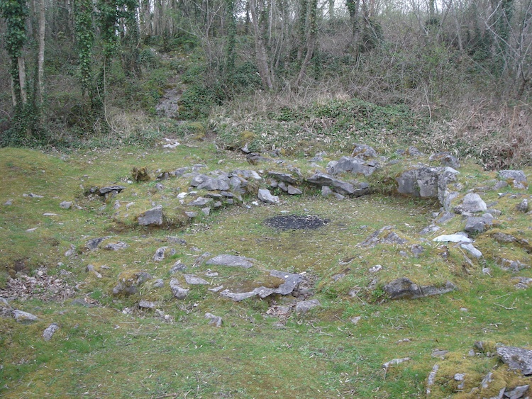 IndicatedHillfort · 138 yd
 Mooghaun WoodsWood · 365 yd
 Enclosure in Mooghaun SouthEnclosure · 383 yd
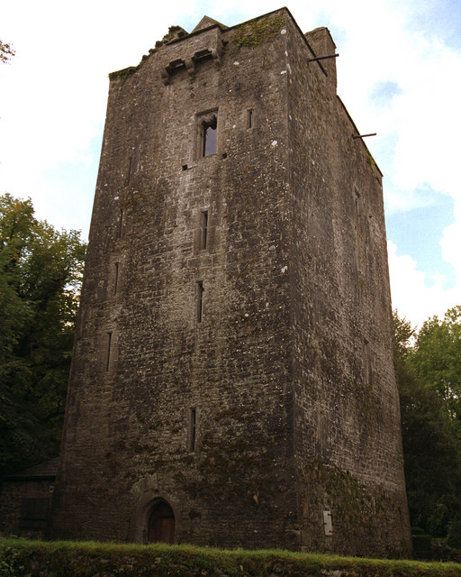 Mooghaun castleCastle · 416 yd
 Castle (in Ruins)Castle, unclassified · 1593 yd
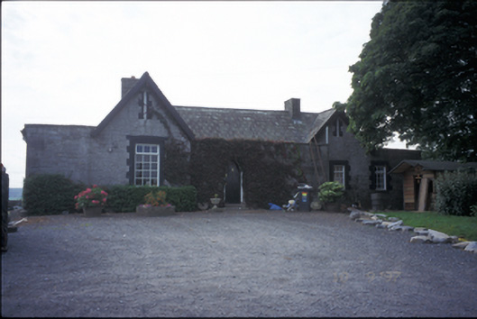 Glenviewrailway station · 1.5 mi
 belvederebelvedere · 1.6 mi
 HawthornHawthorn · 1.8 mi
 Quin AbbeyHeritage attraction · 2.5 mi
 G.A.A. Commemorative StoneMemorial · 4.2 mi
 Irish Famine MemorialMemorial · 4.2 mi