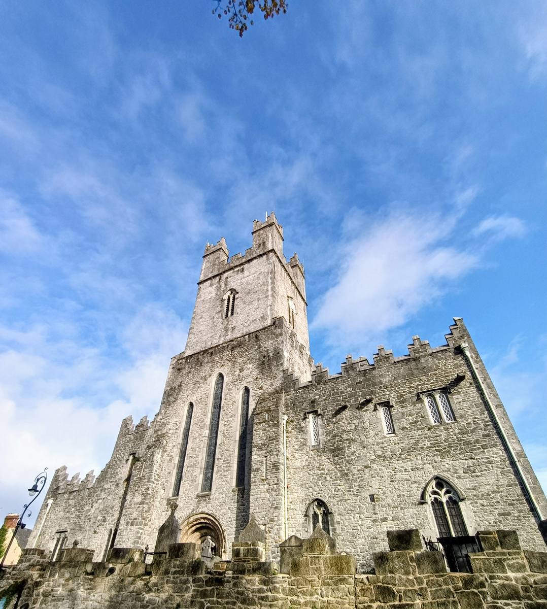
What is recorded here
Cairn is an unclassified chambered tomb in County Limerick, Ireland. It lies in pasture on the southeast side of Killalough Hill, near Lough Gur and the Red Bog. A ringfort, standing stones and another cairn occupy the same broad landscape. The mound still shows in satellite images, although it is absent from older maps.
In pasture, on the SE side of Killalough Hill 410m NE of the Red Bog and 550m SE of Lough Gur. A Ringfort (LI032-028----) lies 520m to ESE; a pair of standing stones (LI032-032/-034----) are 300m to WNW and a standing stone (LI032-040001-) is located 150m to SW.
The cairn (LI032-040002-) is not depicted on historic OSi maps. A mound is visible on the OSi orthoimage taken 2005-12 and on Digital Globe orthoimage taken 2011-2013 that are considered to be the site. The site was described as 100m E of the standing stone (LI032-040001-) by Grogan (1989, 216), although there are difficulties in being precise about the site location as the thesis suggested that the mound is in Ballynagallagh townland. The location of the ‘cairn’ (ext. dims. 34.5m NNW-SSE; 15.5m ENE-SSW) is visible on Google Earth orthoimages taken 16/03/2016; 28/06/2018 and 20/09/2020.
See attached Google Earth orthoimages
Compiled by: Edmond O’Donovan
Date of upload: 23 November 2020
The monument record does not grant public access. Check the route and ask the landowner before entering private land.
- What survives
- Recorded monument
Places near here
 Field system in Rawleystown,ballingoola,ballynagallagh,grange (smallcounty By.),knockfennell,loughgur,patrickswellField system · 378 yd
 RoadRoad, road/trackway · 409 yd
 Killalough (site of)Church · 483 yd
 Maura's Cottagehouse · 616 yd
 Black Castle (in ruins)Castle, tower house · 696 yd
 Pedunculate OakPedunculate Oak · 1200 yd
 Garret IslandCastle, unclassified · 1450 yd
 Lough Gur Heritage CentreVisitor information · 1481 yd
 The SpectaclesVisitor information · 1595 yd
 Grange Stone CircleArchaeological place · 1.1 mi
 Lough GurVisitor information · 1.1 mi
 Glen BogForest · 1.4 mi
Other information
Photo: Credit not shown in the picture search · Rights wording not checked; contact us if this picture should be removed