What is recorded here
One is a flat-topped stone mound on a hilltop in County Clare, broken open during road works in 1874 to reveal a buried chamber holding human bones. The other is a grassy smudge barely visible beneath pasture, measured at seven metres across and recorded only as a generic earthwork. Both point to the same place, yet neither admits the other. A quarry presses close on one side, and the ancient chamber waits underneath the grass, unchanged by the argument above it.
In rough pasture on a gentle S-facing slope with higher ground from W to N and good views to the E. Within a multiperiod field system (CL005-227004-). Listed as an ‘Earthwork’ in the RMP (1996). A subcircular grassed-over cairn (7m N-S; 6m E-W; max. H 1m).
Compiled by: Mary Tunney and Ros Ó Maoldúin
Date of upload: 23 September 2025
The monument record does not grant public access. Check the route and ask the landowner before entering private land.
- What survives
- Recorded monument
Places near here
 Gleninshing tombHeritage attraction · 51 yd
 IndicatedEnclosure · 306 yd
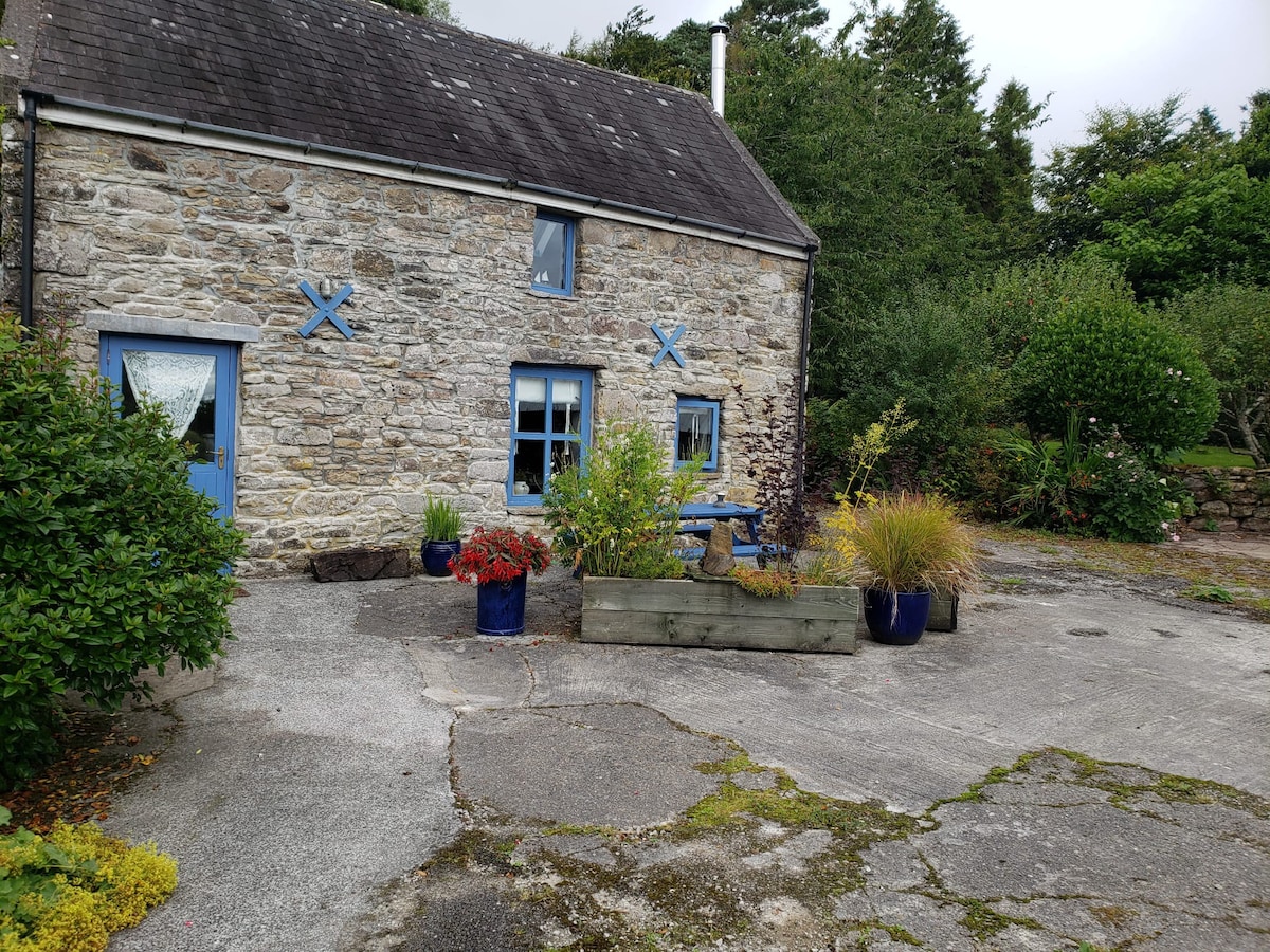 CaheranardurrishFairy fort / stone ringfort · 420 yd
 Gleninshing portal tombHeritage attraction · 593 yd
 Gleansleade Castle (in ruins)Castle, tower house · 625 yd
 The Portal TombVisitor information · 1583 yd
 Poulnabrone - Burren GeositeVisitor information · 1677 yd
 PoulnabroneMemorial · 1.2 mi
 Caherconnell Stone FortRuins · 1.4 mi
 Cave of the Wild HorsesCave · 1.5 mi
 Gregans Castlehouse · 1.9 mi
 Aillwee CaveCave · 2.0 mi