What is recorded here
Cairn is a low rectangular mound of angular moss-covered boulders on a Galway rock outcrop, overlooking Barnaderg Bay, Tully Mountain and Diamond Hill. It hid in woodland during May 2018 but emerged after trees were removed before the December revisit. Two rowan trees stand beside it, while another cairn lies sixty-five metres northeast. Helen Riekstiņš directed attention to the place, and Olive Alcock compiled its description in early 2019.
When initially visited in May 2018 this cairn, situated in woodland, was obscured by trees. On a revisit in December 2018 it was clearly visible as a number of the trees had subsequently been removed. It is located rock outcrop overlooking Barnaderg Bay to the NW, Tully Mountain to the WNW and Diamond Hill to the ESE. The N59 is c. 30m to the N. The cairn (L 3.3m; Wth 2.5m; H 0.8m), low and rectangular in plan, is composed of angular moss-covered boulders. Two rowan tress are adjacent to it to the E. Another cairn (GA023-016----) was located c. 65m to the NE. This monument was brought to the attention of the Archaeological Survey of Ireland by Helen Riekstiņš.
Compiled by: Olive Alcock with information supplied by Helen Riekstiņš
Date of upload: 3 January 2019
A Neolithic cairn; its significance lies in its potential as a burial or ritual monument, typical of early farming communities in the region.
The monument record does not grant public access. Check the route and ask the landowner before entering private land.
- What survives
- Recorded monument
Places near here
 Keelkyle Bridgebridge · 444 yd
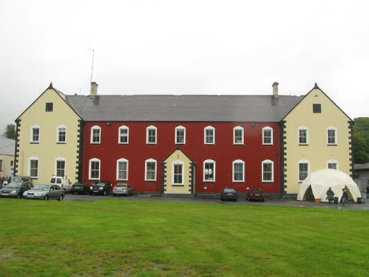 collegecollege · 474 yd
 Connemara National Park Visitor CentreHeritage attraction · 655 yd
 Connemara National ParkNational park · 663 yd
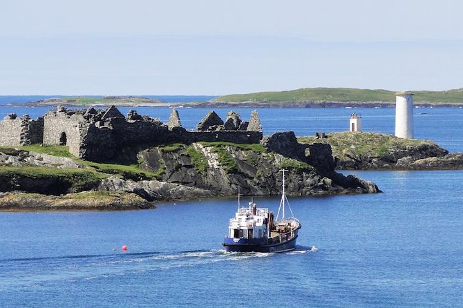 Holy well in Dawros MoreHoly well · 1227 yd
 Field system in Baunoge (ballynahinch By.)Field system · 1240 yd
 RoeillaunIslet · 1.8 mi
 Cabbage treeCabbage tree · 2.0 mi
 Monterey PineMonterey Pine · 2.7 mi
 DerrylahanMountain / peak · 2.7 mi
 Cnoc BreacMountain / peak · 2.8 mi
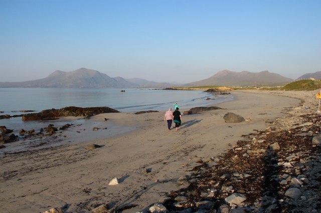 Renvyle BeachBeach / strand · 4.0 mi