What is recorded here
Teampall a' Manaigh, the monks church in County Donegal, is a ruined masonry structure standing in good pasture near the Murlin River. Its walls, built of slabs and yellow sea-sand mortar, still reach 1.52m high beside a small oval cairn said to mark a monk's burial. A lost cross once stood nearby according to local tradition, but no trace remains now. The place holds quiet evidence of devotion, loss and the sea's reach into inland stone.
This structure is known locally as Teampall a' Manaigh. The 'monks church' (DG081-005001-) consists of a ruined masonry structure 4.4m externally and 2.75m internally N-S and 6.6m externally and 4.85m internally E-W. The walls survive up to 1.52m in height. The wall-facing is constructed of slabs with a central core of smaller stones and cemented with a yellow sea-sand mortar. The junctions of the walls are only partially keyed together. A small, oval, flat-topped cairn(DG081-005002-) (7.75m E-W, 4.4m N-S and 0.45m in height) 5m N of the N wall of the church is said to be the burial place of a monk. The site is located in fairly good pasture on a SE facing slope just W of the Murlin River. Herity (1971, 25) records a lost cross from Royard in this vicinity but no trace of it could be found on this occasion either.
The above description was derived from the 'Archaeological Survey of County Donegal. A description of the field antiquities of the County from the Mesolithic Period to the 17th century.' Compiled by: Brian Lacey with Eamon Cody, Claire Cotter, Judy Cuppage, Noel Dunne, Vincent Hurley, Celie O'Rahilly, Paul Walsh and Seán Ó Nualláin (Lifford: Donegal County Council, 1983). In certain instances the entries have been revised and updated.
Date of upload: 22 September 2008
The monument record does not grant public access. Check the route and ask the landowner before entering private land.
- What survives
- Recorded monument
Places near here
 Church in LeathchoillChurch · 8 yd
 An Drungán Stone RingfortFairy fort / stone ringfort · 718 yd
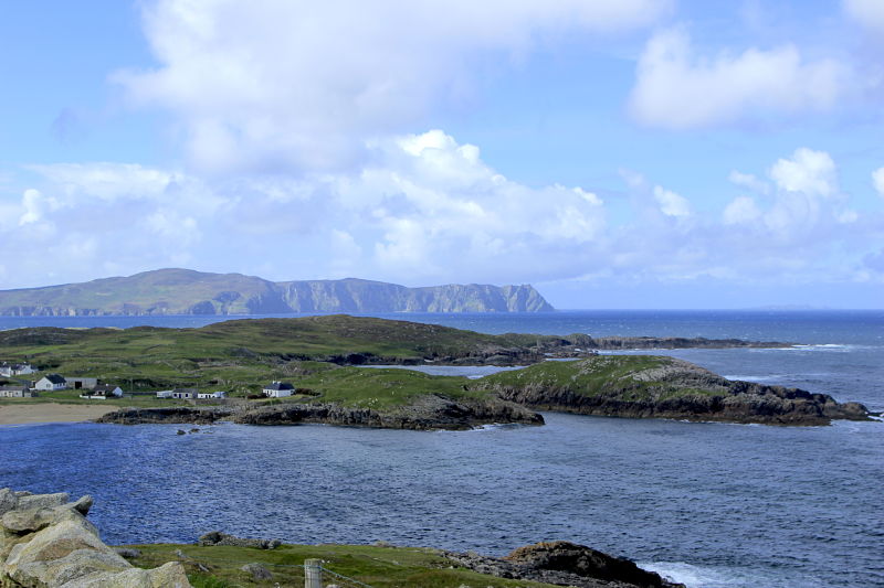 IndicatedHoly well · 787 yd
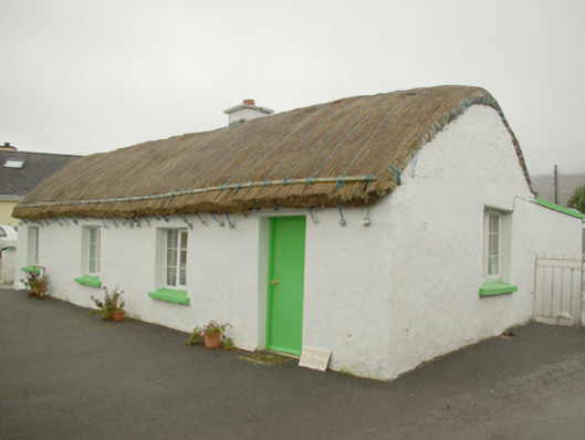 Teachín Tessiehouse · 1715 yd
 Glencolmcille Old GraveyardGraveyard · 1.1 mi
 Trá an GhleannaBeach / strand · 1.7 mi
 Glencolmcille Folk VillageMuseum · 1.9 mi
 An Trá Bheag (Trá Bheag an Ghleanna)Beach / strand · 2.0 mi
 CroaghstraleelMountain / peak · 3.2 mi
 An Tor MórIslet · 3.6 mi
 Rossan PointHeadland · 4.1 mi
 Slieve LeagueMountain / peak · 4.2 mi