
What is recorded here
Cairn is a forest clearing on the northern slopes of Kilmashogue Mountain where two stone markers once stood beside a wedge tomb. Before trees closed the horizon, the platform faced north, east and west, giving whoever gathered there an unusually wide view of County Dublin. The stones may have marked a boundary, a burial or a meeting place, but the region has kept that much deliberate. What remains is a level disc of earth beneath pines, still oriented toward distance and memory.
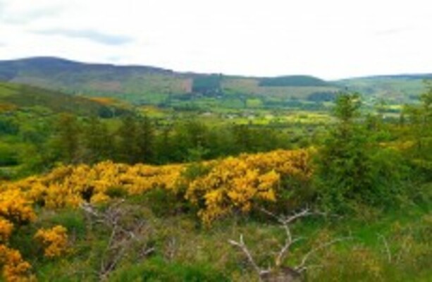
Situated in a forest clearing on a level platform on the N slopes of Kilmashogue Mountain. From an account of the location prior to the growth of forestry in the environs it commanded extensive views to the N, E and W (Kilbride-Jones 1953). In is noted that two cairns lay E of the wedge tomb (DU025-007003-, Healy 1975, 1-19; Turner 1983, 9).
Compiled by: Geraldine Stout and Padraig Clancy
Revised upload on: 28 July 2018
A Neolithic cairn; its location suggests it may have had ritual or funerary significance within a prehistoric landscape.
The monument record does not grant public access. Check the route and ask the landowner before entering private land.
- What survives
- Recorded monument
Places near here
 Kilmashogue Wedge TombArchaeological place · 48 yd
 Kilmashogue ForestForest · 379 yd
 DolmenPortal tomb · 763 yd
 Larch Hillicehouse · 914 yd
 Saint Columba's Collegegates/railings/walls · 1006 yd
 KilmashogueMountain / peak · 1027 yd
 Calbeck CastleRuins · 1488 yd
 Telshaun HillMountain / peak · 1503 yd
 Pine ForestForest · 1.0 mi
 Fairy Tree HomeHeritage attraction · 1.1 mi
 Flat cemetery in EdmondstownFlat cemetery · 1.2 mi
 Dublin Mountains WayWalking route · 1.3 mi
Other information
Photo: Credit not shown in the picture search · Rights wording not checked; contact us if this picture should be removed