What is recorded here
Twenty-seven yards across and fifteen feet high, the Cavan mound held two stone cists before the railway cut through its life. Wakeman measured what remained in 1879, but the coordinates have vanished. A natural hill dressed in soil and stones, it may have marked a boundary, a burial or a warning. Now only the absence is certain, a hole in the landscape where human hands once shaped the earth.
Recorded by Wakeman (1879, 183-200) as a circular 'tumulus' of which the 'circumference was twenty-seven yards; the height, as measured by railway authorities, fifteen feet and a-half.' He described it as a natural mound upon which was laid a stratum of soil covered by a layer of stones. Two stone-lined cists (CV002-030002-) containing artifacts were found within the mound. Not located. (Lowry-Corry and Richardon 1937, 160-1)
The above description is derived from the published 'Archaeological Inventory of County Cavan' (Dublin: Stationery Office, 1995). In certain instances the entries have been revised and updated in the light of recent research.
Date of upload/revision: 22 December 2008
A Neolithic cairn, likely dating to the early first millennium BCE; its description as a natural mound suggests possible later modification or misinterpretation of an original funerary or ritual structure.
The monument record does not grant public access. Check the route and ask the landowner before entering private land.
- What survives
- Recorded monument
Places near here
 IndicatedFairy fort / stone ringfort · 606 yd
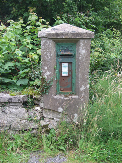 post boxpost box · 614 yd
 Sweat HoSweathouse · 644 yd
 Saint Patrick's Catholic Churchchurch/chapel · 768 yd
 Giant's GraveArchaeological place · 1602 yd
 BarranMountain / peak · 1.2 mi
 Tuam IslandIslet · 1.4 mi
 Kilrooscagh IslandIslet · 1.4 mi
 Port IslandCastle, Anglo-Norman masonry castle · 1.6 mi
 BurrenMountain / peak · 1.8 mi
 Cavan BurrenHeritage attraction · 1.9 mi
 Dolines/SinkholesCave · 1.9 mi