
What is recorded here
Located on the summit of Kilrock on Howth Head. This is a circular round-topped cairn (diam. 6.5m; H 2-2.5m). There is a great deal of shattered stone visible on the surface. Kerbstones are visible along E and SW. A trignometrical station is marked at this point and there is the possibility that the cairn was constructed for this purpose. Spectacular views north to Ireland's Eye and east coast.
Compiled by: Geraldine Stout
Updated by: Christine Baker
Date of upload: 29 January 2015
A Neolithic cairn, likely dating to the early to middle Neolithic period (c. 4000–3000 BCE). Its location on a prominent coastal headland suggests ritual or ceremonial significance, possibly linked to landscape orientation or funerary practices.
The monument record does not grant public access. Check the route and ask the landowner before entering private land.
- What survives
- Recorded monument
Places near here
 Cliffs of HowthViewpoint · 200 yd
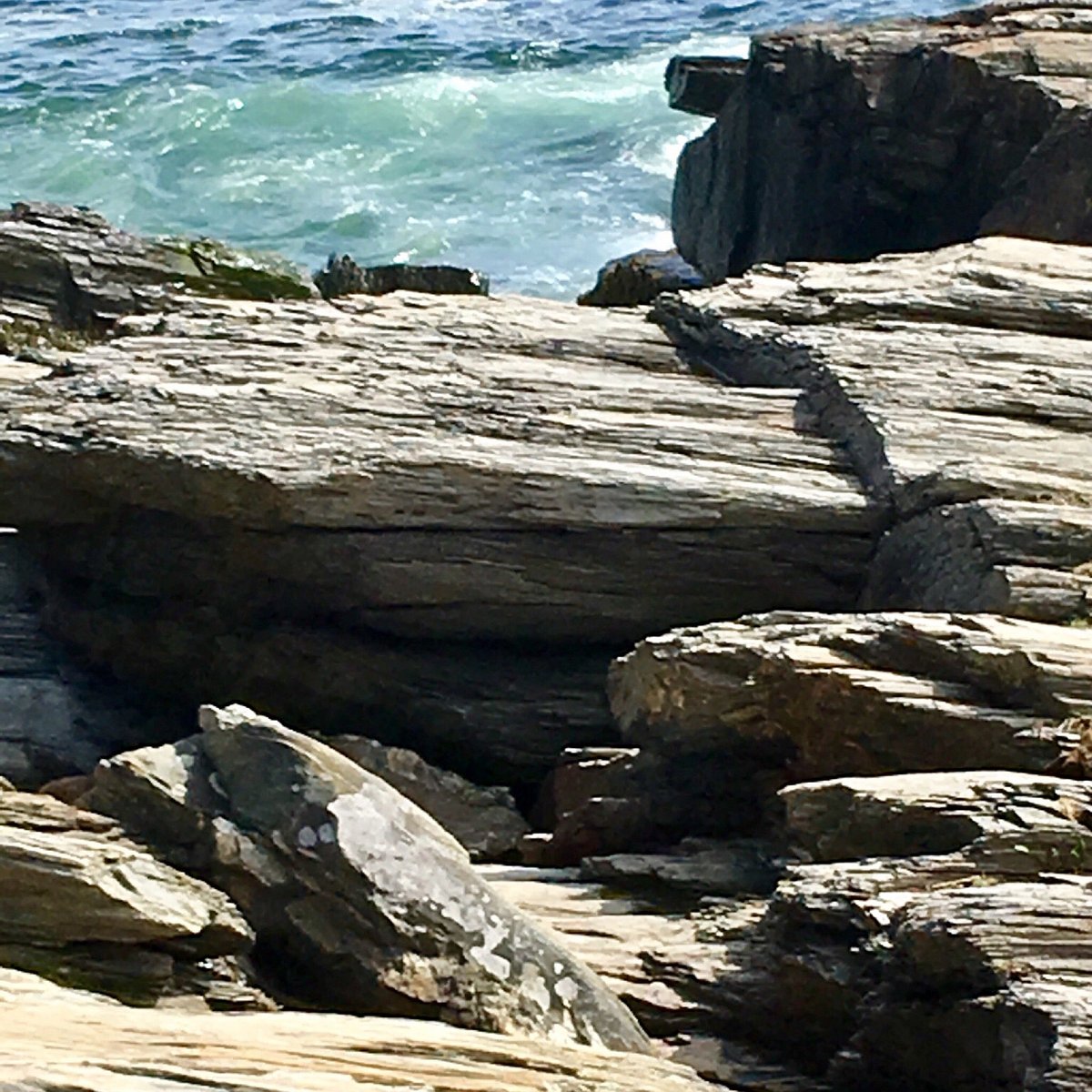 Cannon RockNamed rock · 487 yd
 Picnic RockArchaeological place · 708 yd
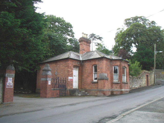 Kilrock Housegate lodge · 767 yd
 Howth Black Linn LoopWalking route · 950 yd
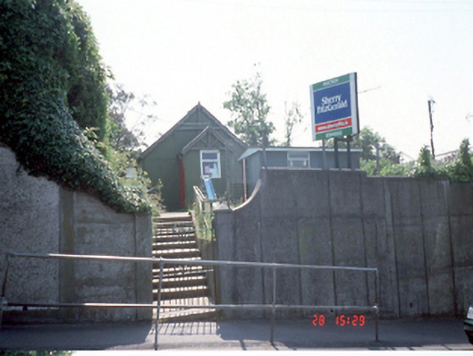 Bracken Hallhall · 1061 yd
 Martello TowerMartello tower · 1098 yd
 Ye Olde Hurdy-Gurdy (Museum of Vintage Radio)Heritage attraction · 1102 yd
 EIRE 6 signSecond World War neutrality sign · 1170 yd
 DolphinsViewpoint · 1212 yd
 George IV's footstepsMemorial · 1679 yd
 Howth Bog of the Frogs LoopWalking route · 1.0 mi
Other information
Photo: Credit not shown in the picture search · Rights wording not checked; contact us if this picture should be removed