What is recorded here
Six cobbled rings and a circular hut emerged from the shifting dunes east of Mountcharles in September 2010, stripped bare by cattle, creek water and coastal erosion. The cairns measure between 1.6 and 4.65 metres across, rising a metre above the sand beside scattered cockle and mussel shells. They mark a forgotten foreshore settlement where people likely gathered seaweed, watched the tide or tended fires before the dune swallowed the stones again.
This is one of six cairns (DG099-021001- to DG099-021006-), located close to a circular stone hut site (DG099-020----), which were observed near the foreshore in sand dunes to the east of Mountcharles in September 2010. The features lie on a sand spit orientated SE−NW between an estuary and Donegal Bay. The features have been exposed by the erosion of a large sand dune, exacerbated by cattle grazing as well as stream erosion from the creek of Warren Channel to the NW. They cover an area c. 20-25m². The six cairns (DG099-021001- to DG099-021006-) are located seaward, and within c. 11m of the circular hut site (DG099-020----). The cairns, which consist of roughly circular heaps of beach cobbles, range in diameter from 1.6m to 4.65m, rising up to 1m high above the sand. Cockle, mussel and razor shells are scattered around the exposed area, as well as modern debris. (Pers. comm. Edward Pollard, 5th September 2010).
The monument record does not grant public access. Check the route and ask the landowner before entering private land.
- What survives
- Recorded monument
Places near here
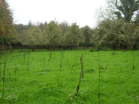 The Hallwalled garden · 1071 yd
 Mountcharles Church of Ireland Churchchurch/chapel · 1156 yd
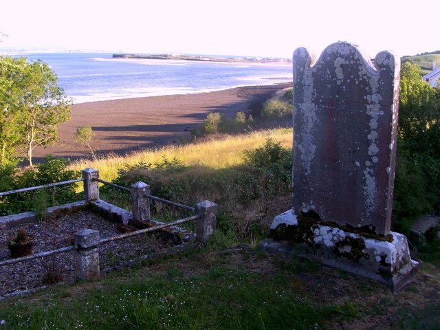 Killymard Old Church GraveyardGraveyard · 1212 yd
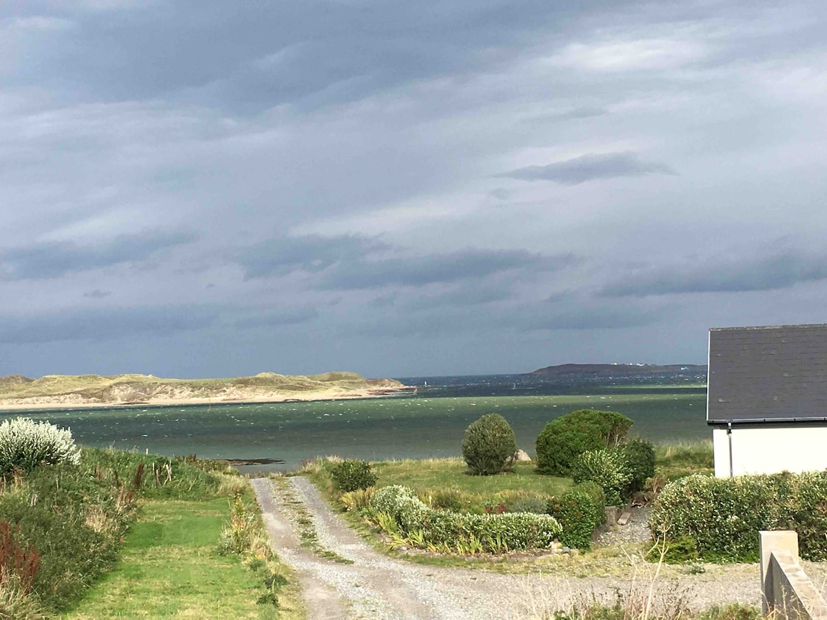 Summerhill Enclosure above Donegal BayEnclosure · 1229 yd
 Former Summerhill EnclosureEnclosure · 1522 yd
 Ballyboyle Castle (Site of)Castle, tower house · 1.2 mi
 Salthill GardensHeritage attraction · 1.4 mi
 Ballyboyle IslandIslet · 1.6 mi
 Mac Manus Estate, RossylonganForest recreation place · 1.7 mi
 Wych ElmWych Elm · 1.7 mi
 Rooney's IslandIslet · 1.8 mi
 MurvaghOfficial bathing water · 2.4 mi