What is recorded here
Knockroe rises above Abbeyknockmoy with three ancient stone rings, yet modern relay towers and concrete markers have cut through their quiet shape. The largest circle stretches twelve metres across the highest point, still carrying the brass legacy of a surveying instrument. Human hands built these markers before charts or towers existed, probably to aim prayers, remember deaths or simply own the horizon.
On the summit of Knockroe, a prominent partly wooded hill to SW of Abbeyknockmoy. A total of three small cairns are visible, all denuded and/or partly damaged by the relay stations on the hill summit: (a GA058-061----) the largest cairn on the highest point (OD 554 ft), is circular (D 12m) and was previously used as a trigonometrical point; (b GA058-061001-) c. 12m to S is another circular cairn (D 9m, H 1.6m) surmounted by the modern concrete trigonometrical station; (c GA058-061002-) c. 14m to NE of (a) is another small circular cairn (D 5m, H 0.5m).
The above description is derived from the published 'Archaeological Inventory of County Galway Vol. II - North Galway'. Compiled by Olive Alcock, Kathy de hÓra and Paul Gosling (Dublin: Stationery Office, 1999).
Date of upload: 05 August 2010
A Neolithic cairn; likely dates to the Early to Middle Neolithic period. Its location on a prominent hill summit suggests ritual or funerary significance, typical of Neolithic burial practices in the region.
The monument record does not grant public access. Check the route and ask the landowner before entering private land.
- What survives
- Recorded monument
Places near here
 St. Bernards WellHoly well · 94 yd
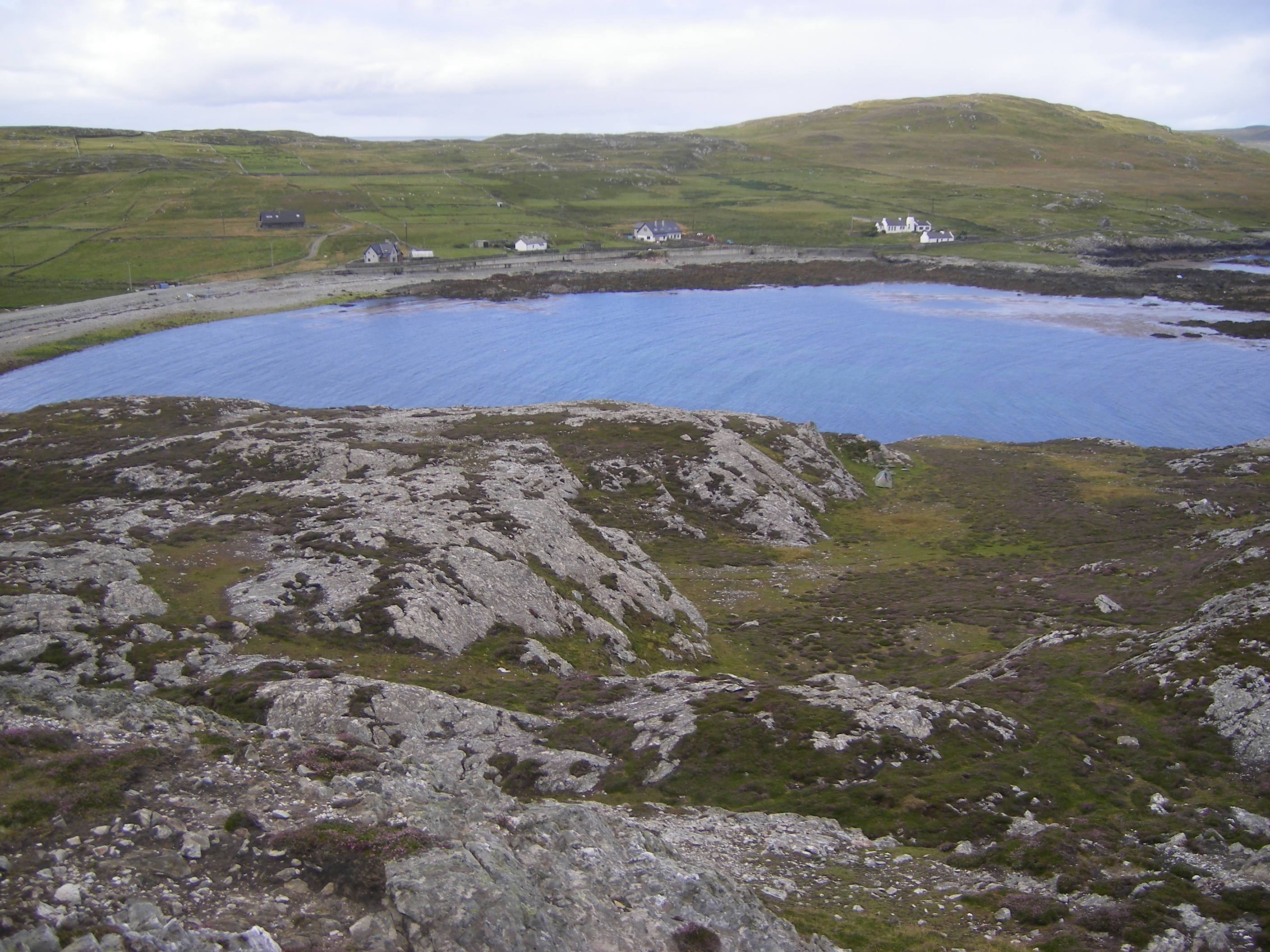 IndicatedFairy fort / ringfort · 1433 yd
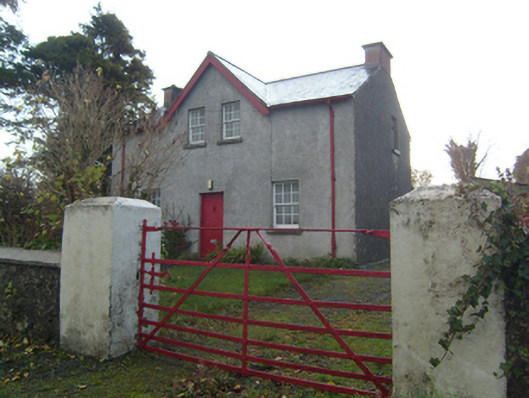 Rose Villaschool master's house · 1.2 mi
 monumentmonument · 1.3 mi
 Knockmoy AbbeyHeritage attraction · 1.4 mi
 CashlaundarraghCastle · 1.7 mi
 Common WhitebeamCommon Whitebeam · 2.1 mi
 SycamoreSycamore · 2.1 mi
 CastleCastle, unclassified · 2.2 mi
 Menlough IRAMemorial · 7.0 mi
 Mass RockNamed rock · 11 mi
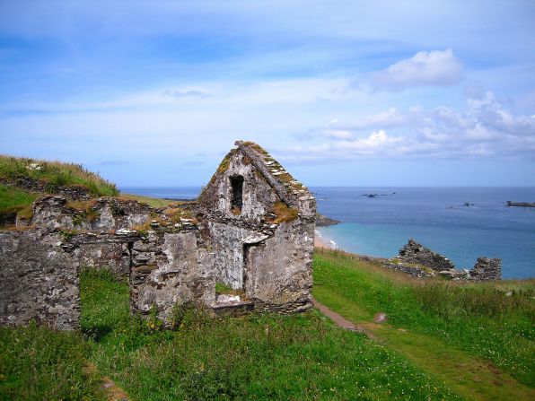 Settlement desertedSettlement deserted, medieval · 1.1 mi