What is recorded here
Cairn stands on the southern edge of the Turloughmore plateau in County Clare, where grass has swallowed most of its stones but three kerbs still mark a western curve. A modern boundary wall now cuts across its eastern side, dividing townlands and baronies while the ancient shape fades beneath the turf. The summit offers wide views toward the east, suggesting the site may have served as a landmark for travellers crossing the karst landscape.
At the S end of the karst plateau at the summit of Turloughmore Mountain which slopes slightly to the N. Wide views all around, especially from N to E. This poorly preserved, grass-covered subcircular cairn (8.2m E-W; 7.9m N-S; H 0.4-0.6m) has a flat top which is slightly higher at SW. Some stones in the cairn are visible, including three non-contiguous possible kerbstones (L 0.3-0.85m; Wth 0.5-0.3m; H 0.2-0.5m) forming a curved line along the edge of the cairn at W-NNW. A modern drystone wall (marking the townland boundary between Glencolumbkille North and Killeenmacoog South townlands as well as the barony boundary between Burren Barony and Inchiquin Barony) runs N-S over the E part of the cairn.
Compiled by: Mary Tunney and Conn Herriott
Date of upload: 20 June 2023
The monument record does not grant public access. Check the route and ask the landowner before entering private land.
- What survives
- Recorded monument
Places near here
 Glencolumbkille CastleCastle · 1182 yd
 Kilnaloone GraveyardArchaeological place · 1386 yd
 Enclosure in Cappagh (burren By.)Enclosure · 1722 yd
 Cappagh CastleCastle · 1735 yd
 IndicatedEnclosure · 1.1 mi
 St Columbkilles Church (in ruins)Church · 1.2 mi
 Burren National ParkNature reserve · 1.5 mi
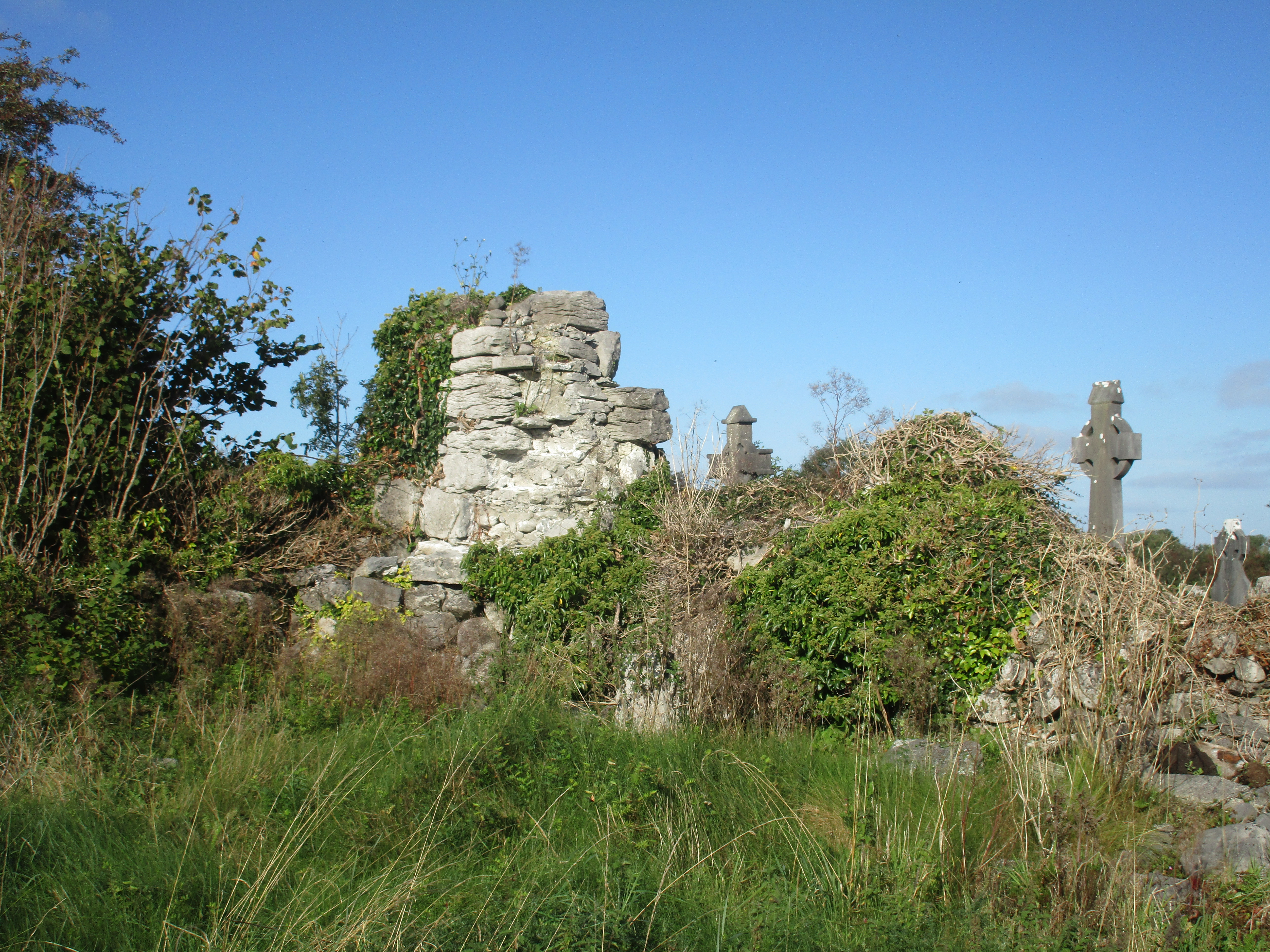 Church (in Ruins)Church · 1.8 mi
 Grave of Saint Mac Duagh's ServantArchaeological place · 2.3 mi
 Slieve RoeMountain / peak · 2.6 mi
 Mullagh MoreMountain / peak · 3.1 mi
 Father Ted's HouseHeritage attraction · 3.2 mi