
What is recorded here
On level pasture at W foot of low N–S ridge. Hachured on the 1842 ed. of the OS 6-inch maps as a large enclosure c. 50m in diameter but not indicated on the 1915 ed. Not visible at ground level.
Compiled by: Mary Tunney and Ros Ó Maoldúin
Date of upload: 13 September 2021
The monument record does not grant public access. Check the route and ask the landowner before entering private land.
- What survives
- Recorded monument
Places near here
 Cappagh CastleCastle · 279 yd
 IndicatedEnclosure · 282 yd
 Kilnaloone GraveyardArchaeological place · 790 yd
 Glencolumbkille CastleCastle · 1302 yd
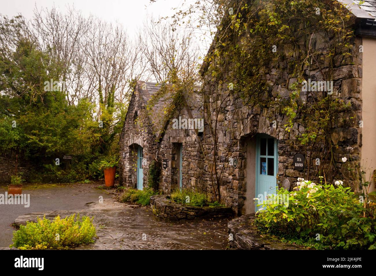 Enclosure in Fahee NorthEnclosure · 1.0 mi
 St Columbkilles Church (in ruins)Church · 1.4 mi
 MacDuagh's BedRuins · 1.8 mi
 Grave of Saint Mac Duagh's ServantArchaeological place · 1.8 mi
 Slieve RoeMountain / peak · 3.3 mi
 Father Ted's HouseHeritage attraction · 3.5 mi
 Turlough HillMountain / peak · 3.5 mi
 Burren National ParkVisitor information · 4.5 mi
Other information
Photo: Credit not shown in the picture search · Rights wording not checked; contact us if this picture should be removed