What is recorded here
Moss holds the small stones of a compact oval cairn on the NE ridge brow, where a meandering field boundary passes beside it and views reach Gortaclare and Slievecarran. It may have marked grass, ownership or simply the shape of a place remembered by herds and people. Surveyors later used that same ridge point to measure distance, turning an old local landmark into a tool for mapping.
On the NE brow of a NE-SW ridge in upland rocky grazing with excellent views towards Gortaclare and Slievecarran to N and in all directions. A compact oval cairn of stones (5.5m NE-SW; 3.5m NW-SE; H 0.7m) aligned NE-SW reported to the National Monuments Service by Nick Geh. The stones are relatively small (0.15-0.3m) and the lower ones are moss-covered. The cairn sits along the line of a field boundary seen meandering to SW and NE (not contiguous to the cairn at either end) and was used as a trigonometrical point as shown on the OS 1st edition map. Other field boundaries associated with those above form an irregular field system across the ridge. A ring-cairn (CL010-183---) is on the SW end of the ridge.
The following images have been uploaded:
1. CL006-161----_01.jpg From SW. Cairn on horizon with field wall meandering towards it.
2. CL006-161----_03.jpg From SE. Closer view.
3. CL006-161----_04.jpg Cairn from NW.
Compiled by: Mary Tunney
Date of upload: 10 June 2019
The monument record does not grant public access. Check the route and ask the landowner before entering private land.
- What survives
- Recorded monument
Places near here
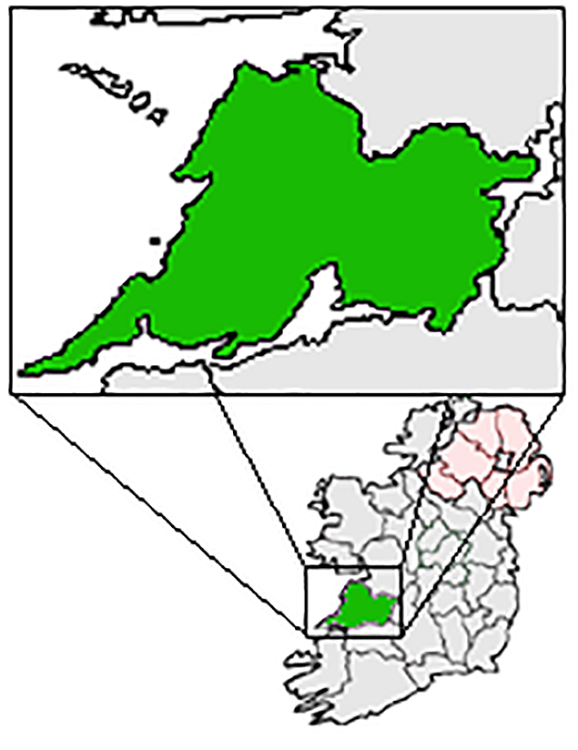 IndicatedFairy fort / earthen ringfort · 665 yd
 Cappagh CastleCastle · 769 yd
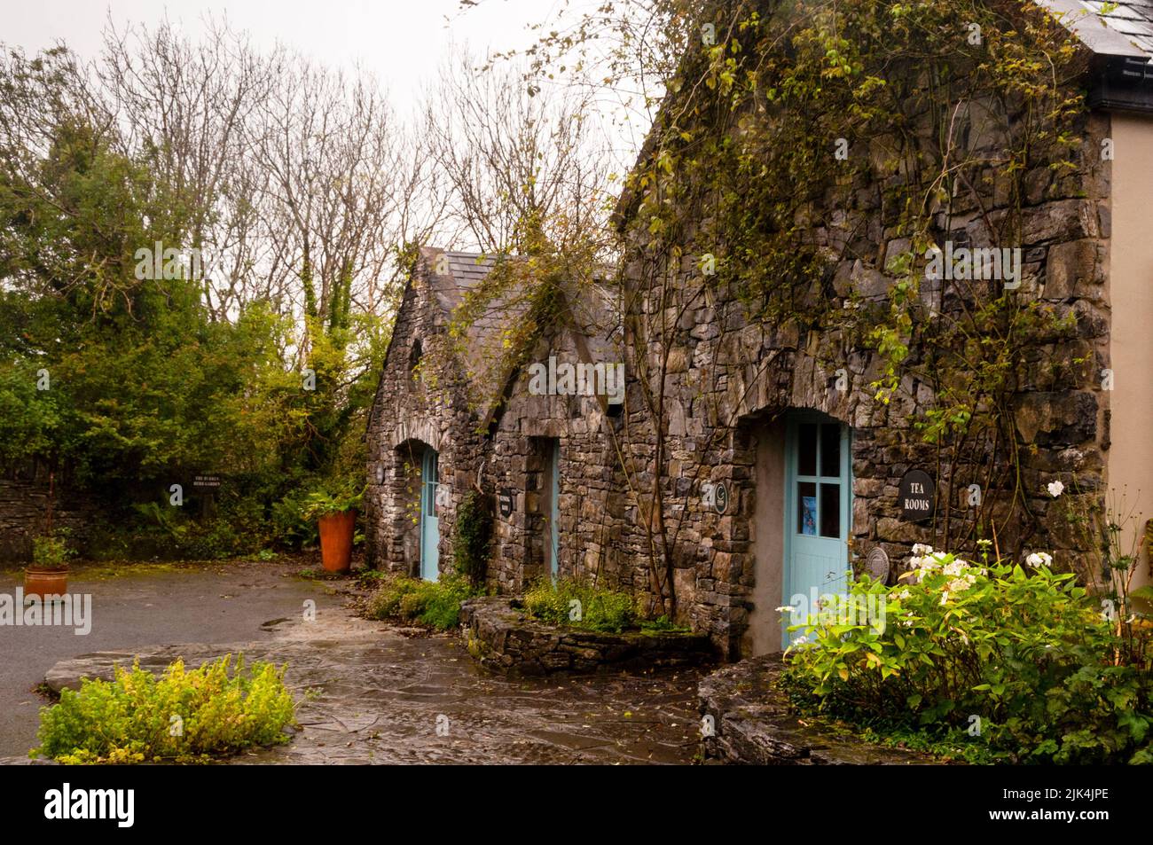 Enclosure in Fahee NorthEnclosure · 842 yd
 Kilnaloone GraveyardArchaeological place · 869 yd
 Glencolumbkille CastleCastle · 1258 yd
 St Columbkilles Church (in ruins)Church · 1.1 mi
 Templecronan (in ruins)Church · 1.7 mi
 Burren National ParkNature reserve · 2.0 mi
 Father Ted's HouseHeritage attraction · 3.1 mi
 Slieve RoeMountain / peak · 3.1 mi
 Mullagh MoreMountain / peak · 3.4 mi
 PoulnabroneMemorial · 4.1 mi