
What is recorded here
In upland area on Duntryleague Hill. Possible small cairn described in 1952-3 by Dr. Caoimhín Ó Danachair as follows; ' "about 30 yards" from the tomb [LI049-077----] just described and on a direct line from it to the tower of the old church in Ballylanders village, which is about 4-5km south-south-west of the tomb, there was a circle of stones "about 6 yards in diameter" which he thought might be the kerb of a burial mound. He saw it in May 1952 after a bog fire in the spring of the same year had burned away "the top foot or so of the turf over the stones". He did not think it had been visible prior to that. The two photos were taken in August 1953 when heather and moss had begun to cover the stones again. A forest of closely planted trees, now almost fully grown, covers this area. In 1984 a search, necessarily limited by the trees, failed to reveal the feature described by Dr. Ó Danachair' (Ó Nualláin and Cody 1987, 80).
This monument is subject to a preservation order made under the National Monuments Acts 1930 to 2014 (PO no. 9/1932).
See attached location map showing Cairn 2 and photos of arc of stones near Deerpark tomb taken by Ó Danachair in 1952
Compiled by: Caimin O'Brien
Date of upload: 7 October 2021
The monument record does not grant public access. Check the route and ask the landowner before entering private land.
- What survives
- Recorded monument
Places near here
 Darby's Bed Walk LoopWalking route · 140 yd
 Duntryleague HillMountain / peak · 192 yd
 Partially hachuredQuarry · 756 yd
 Enclosure in SnugboroughEnclosure · 855 yd
 BarrowBarrow, ditch barrow · 1026 yd
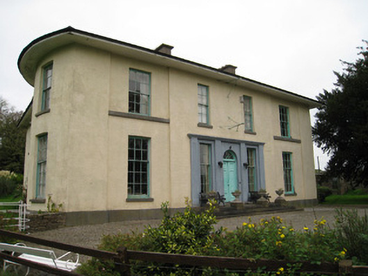 Glenefyhouse · 1079 yd
 Duntryleague - hachuredCastle, ringwork · 1456 yd
 Ryves CastleCastle, unclassified · 2.2 mi
 Saint Patrick's WellSpring · 2.5 mi
 Knockanebrack HillMountain / peak · 3.6 mi
 St Patrick's WellSpring · 3.7 mi
 Ballinvreena LoopVisitor information · 4.9 mi
Other information
Photo: Credit not shown in the picture search · Rights wording not checked; contact us if this picture should be removed