
What is recorded here
Cairn is a low stone hill in a Limerick forest, not a buried chamber or hidden machine. People may have climbed it to mark the sky, remember the dead, or simply enjoy the view before roads and houses arrived. Its south face has collapsed, but the north and east steps still rise like a forgotten staircase.
On top of a low hill, in a deciduous forest. Roughly circular cairn of stones (H 3.2m; 15m N-S; 16m E-W). The sides are roughly-stepped with the steps decreasing in height from the base upwards. At the top is a flat roughly circular summit (3m N-S; 3.8m E-W). The cairn is best preserved N->E but has suffered a partial collapse along its S arc.
Compiled by: Denis Power
Date of upload: 26 August 2011
A roughly circular cairn, likely of Bronze Age date, characterized by stepped construction and a flat central area, indicating possible ritual or funerary use. Its location on a prominent hill suggests a ceremonial or territorial significance within the local landscape.
The monument record does not grant public access. Check the route and ask the landowner before entering private land.
- What survives
- Recorded monument
Places near here
 Celtic Cross Monument to Robert Stephen De VereMonument · 222 yd
 Little HeavenHeritage attraction · 712 yd
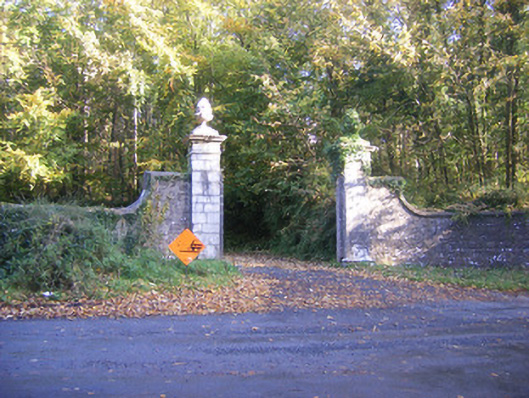 Curragh Chasedemesne walls/gates/railings · 832 yd
 Curraghchase HouseRuins · 888 yd
 Celtic Cross Monument to De Vere FamilyMonument · 1246 yd
 Curraghchase Forest ParkForest · 1302 yd
 European YewEuropean Yew · 1.1 mi
 CastleCastle, tower house · 1.3 mi
 Derreen Castle (in ruins)Castle, tower house · 2.4 mi
 Flat cemetery in CroaghFlat cemetery · 3.1 mi
 European BeechEuropean Beech · 4.4 mi
 Flat cemetery in Kiltenan SouthFlat cemetery · 5.0 mi
Other information
Photo: Credit not shown in the picture search · Rights wording not checked; contact us if this picture should be removed