What is recorded here
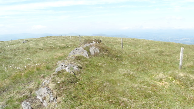
Cairn stands on a rocky Kerry shoulder, a four-metre circle of loose stones dropping into a shallow central depression. It is small enough to walk around in a minute yet old enough to belong before written memory. The surrounding field marks suggest people still passed close, perhaps dropping stones or reading the shape in weather.
On a rocky shoulder, within a field system (KE102-074001-). A circular cairn (diam. 4m; H 0.9m) of loose stones with a circular depression (diam. 1.5m) on the summit. There is evidence of kerbing along the perimeter NE-E and at W.
The above description is derived from the published 'Archaeological Inventory of County Kerry. Volume I: South-West Kerry' (Dublin: Stationery Office, 2009). In certain instances the entries have been revised and updated in the light of recent research.
Date of upload: 30 May 2011
A Neolithic cairn; its construction and kerbing suggest ritual or funerary use, typical of early farming communities in the region.
The monument record does not grant public access. Check the route and ask the landowner before entering private land.
- What survives
- Recorded monument
Places near here
 IndicatedEnclosure · 178 yd
 Hut site in CrinagortHut site · 289 yd
 Bullaun StoneHeritage attraction · 512 yd
 Famine RuinRuins · 590 yd
 Bonane Heritage ParkMuseum · 751 yd
 Glashagarriv Br.Bridge · 920 yd
 BeneenMountain / peak · 1.3 mi
 KnocknamanaghMountain / peak · 1.8 mi
 The Priests LeapViewpoint · 3.2 mi
 CaoinkeenCliff · 3.3 mi
 CastleCastle, unclassified · 3.7 mi
 Mucksna Nature ReserveNature reserve · 4.2 mi