What is recorded here
Situated on the NW-facing slope of Colvinstown hill. A small cairn (diam c. 27m) of loose stones, with some large stones and a slab which may represent the remains of a kerb.
The above description is derived from the published 'Archaeological Inventory of County Wicklow' (Dublin: Stationery Office, 1997). In certain instances the entries have been revised and updated in the light of recent research.
Date of upload/revision: 17 December 2008
A Bronze Age cairn; its significance lies in its potential as a funerary or ritual monument, typical of early burial practices in the region.
The monument record does not grant public access. Check the route and ask the landowner before entering private land.
- What survives
- Recorded monument
Places near here
 Site of RathFairy fort / earthen ringfort · 657 yd
 Sam McAllistair GraveMemorial · 667 yd
 Cross in Colvinstown UpperCross · 678 yd
 Saint Brigit's ChairNamed rock · 1280 yd
 Saint Brigit's Mass StoneNamed rock · 1281 yd
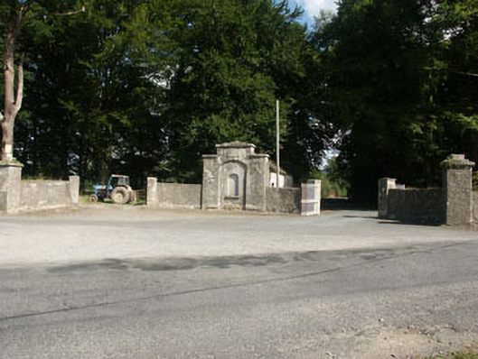 Kilranelagh Housegate lodge · 1.1 mi
 Castle in ruinsCastle, unclassified · 1.2 mi
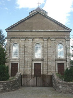 Saint Brigid's Catholic Churchchurch/chapel · 1.2 mi
 MoatamoyCastle, motte · 1.3 mi
 Keadeen MountainMountain / peak · 1.9 mi
 European BeechEuropean Beech · 2.8 mi
 Dwyer McAllister CottageMuseum · 2.8 mi