What is recorded here
Cairn is a modern heap of stones covering a broad ancient structure at the highest point of Donegal high ground. Surveyors may have built the visible pile for a trigonometrical station, yet flat slabs and grass still mark the older wide base beneath it. The completed point faces southeast and returns the whole region in a clear circle.
A modern heap of stones overlies what appears to be a cairn about 14m across, the top of which is lightly grassed over. It is partly defaced around the edge and seems to be composed of flat slabs of loose stone. The point was used as a trigonometrical station and the cairn could have been built for that purpose. The site is at the SE ·and at the highest point of a stretch of high ground. There are excellent views in all directions.
The above description was derived from the 'Archaeological Survey of County Donegal. A description of the field antiquities of the County from the Mesolithic Period to the 17th century.' Compiled by: Brian Lacey with Eamon Cody, Claire Cotter, Judy Cuppage, Noel Dunne, Vincent Hurley, Celie O'Rahilly, Paul Walsh and Seán Ó Nualláin (Lifford: Donegal County Council, 1983). In certain instances the entries have been revised and updated.
Date of upload: 22 September 2008
A Neolithic cairn; its significance lies in its potential as a burial or ceremonial monument from one of the earliest farming communities in the region.
The monument record does not grant public access. Check the route and ask the landowner before entering private land.
- What survives
- Recorded monument
Places near here
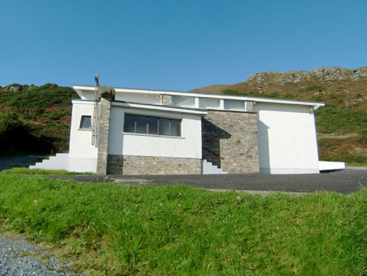 Stella Maris Catholic Churchchurch/chapel · 390 yd
 Cross in MíobhaighCross · 570 yd
 Mevagh High CrossCross, High cross · 1107 yd
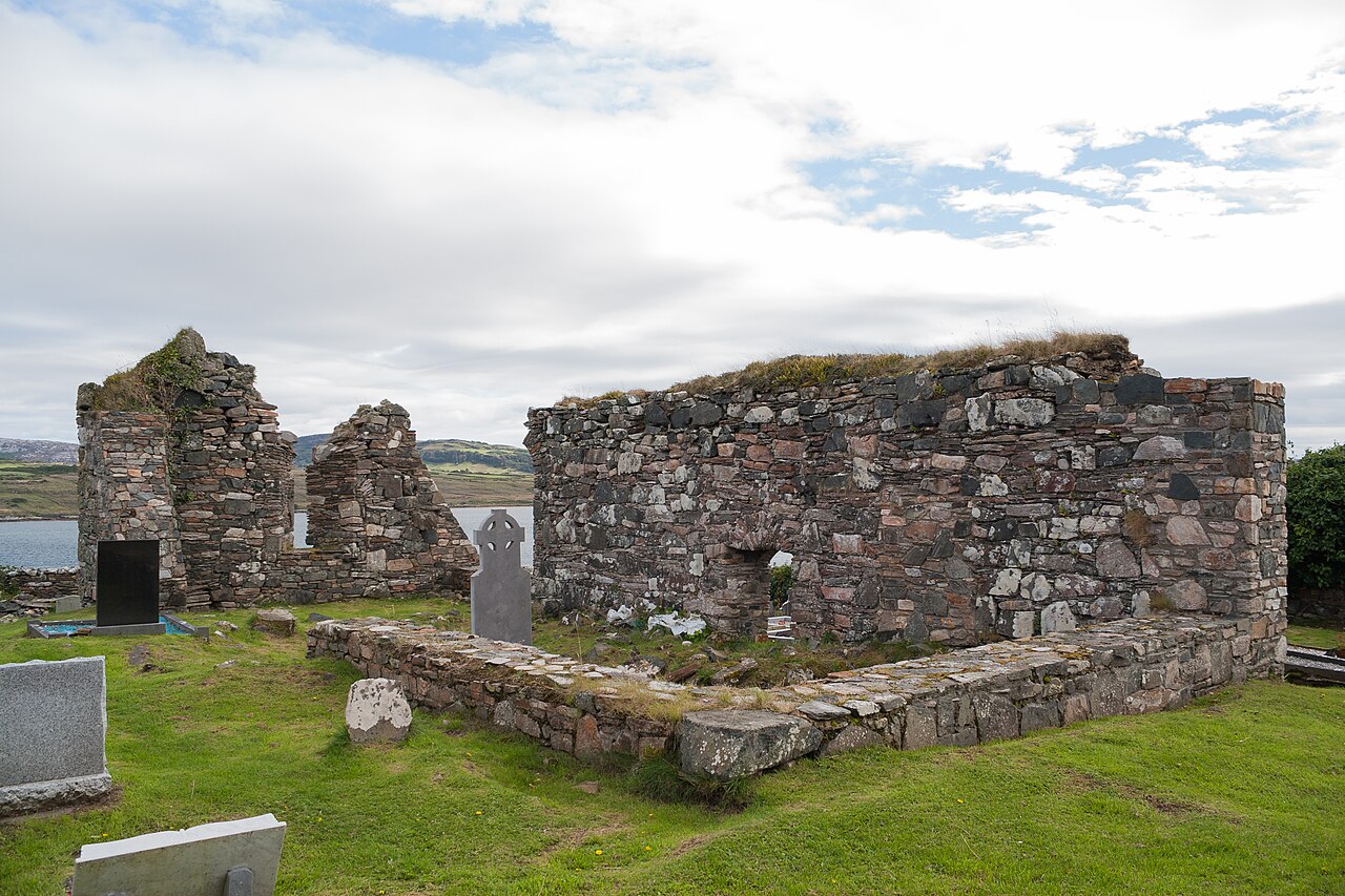 Mevagh Old ChurchChurch · 1107 yd
 DowningsOfficial bathing water · 1.2 mi
 Rosses StrandBeach / strand · 1.5 mi
 Cliffs at Lamb's IslandPublicly named cliff or headland · 1.7 mi
 Cliffs on Ros GuillPublicly named cliff or headland · 1.7 mi
 Cnoc na SleáMountain / peak · 1.9 mi
 The Murder HoleCave · 2.3 mi
 Clonmass IslandIslet · 3.0 mi
 Monterey PineMonterey Pine · 3.6 mi