What is recorded here
Knockawaddra holds two large stone cairns on either side of a low saddle, watching the valleys beside the Slieve Mish. The larger measures twenty-one by twenty-six metres, still domed and partly buried in peat, with red sandstone slabs exposed where its southern edge has collapsed. A small boundary marker now sits upon the old work, while the two cairns remain visible across the ridge, sharing the same panoramic height.
'This site is situated around 300m to the east of [KE038-103----].............and offers similarly panoramic views of the valleys on either side of the Slieve Mish. Both cairns are clearly visible from one another and stand on either side of a low saddle near the summit of Knockawaddra mountain. This cairn is larger and more impressive, measuring 21m N-S and 26m E-W, with a very domed profile. The cairn remains to a maximum height of 3.15m and is, again, almost completely covered in peat. Where the peat covering has been partly removed, due to collapse of the underlying cairn, on the southern side, the cairn can be seen to be constructed of similar large red sandstone slabs and boulders to LVS038 024. One of the small stone cairns, which serve as townland boundaries has been erected on the site.'
Compiled by Michael Connolly for the Archaeological Survey of Ireland as part of a survey of the Lee Valley area in 1996-97.
Date of upload: 03 May 2012
The monument record does not grant public access. Check the route and ask the landowner before entering private land.
- What survives
- Recorded monument
Places near here
 Ballygamboon Forest Recreation AreaWood · 1524 yd
 Scotia's GraveArchaeological place · 1.1 mi
 KnockmoyleMountain / peak · 1.1 mi
 Enclosure in Ballygamboon UpperEnclosure · 1.2 mi
 Enclosure in Ballynamona UpperEnclosure · 1.3 mi
 Mine in BallydunleaMine · 1.4 mi
 Knockmichael MountainMountain / peak · 1.5 mi
 Tralee Equestrian CentreHeritage attraction · 2.8 mi
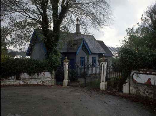 Cloghersgate lodge · 3.1 mi
 Civil War MemorialMemorial · 3.4 mi
 Common AlderCommon Alder · 3.4 mi
 Bealagrellagh CastleCastle · 3.7 mi