What is recorded here
Cairn is a low ridge of loose stones in Mayo pasture, perhaps marking a boundary or clearing fields long after people stopped gathering wood. It slumps gently northward like a forgotten thought, larger stones clustering at its edges as if protecting what little shape remains. A rath sits nearby, suggesting human presence stretched across generations rather than one dramatic event. The cairn does not demand awe; it invites patience, reminding us that even humble stones can hold the memory of lived land.
In pasture, located on the gentle N-facing slope of a rise.
This record was listed in the 1991 SMR and the 1996 RMP as ‘mound’ based on an aerial photograph (OS 2 4405 -6; Roll 216, pr. 17; SMR file). It consists of a cairn (7.6m E–W; c. 7m N–S; H 0.5m at E; 1m at W) of loose stones. The stones are mostly small in size but larger stones and boulders are also evident, especially around the perimeter. The cairn slumps down gently from S to N, reflecting the natural slope. This may to be a field clearance cairn of relatively recent date. There is a rath (MA062-086----) 35m to SW.
Compiled by: Jane O’Shaughnessy
Date of upload: 25 November 2020
The monument record does not grant public access. Check the route and ask the landowner before entering private land.
- What survives
- Recorded monument
Places near here
 IndicatedEnclosure · 999 yd
 ToberbrideHoly well · 1035 yd
 Brabazon WoodsForest · 1408 yd
 handball alleyhandball alley · 1730 yd
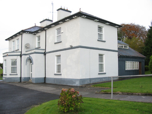 Catholic Church of Our Lady Help of Christianspresbytery/parochial/curate's house · 1748 yd
 Procession Of The SoulsMemorial · 1.1 mi
 Youth Memorial GardenMemorial · 1.2 mi
 Thorn CaveCave · 2.7 mi
 HawthornHawthorn · 3.3 mi
 Castle (in Ruins)Castle, unclassified · 3.6 mi
 Hennigan's Heritage CentreHeritage attraction · 3.7 mi
 Kiltimagh MuseumMuseum · 6.0 mi