What is recorded here
Burraboy mountain still holds a seven-and-a-half-metre oval cairn on its bog-covered south slope, company kept by a five-stone circle and a short stone row. Peat has smothered part of the work, yet the stones still mark a deliberate gathering place above the valley. People may have walked this wet ridge to pray, remember or watch the sky, leaving behind a shape small enough to overlook but steady enough to survive.
On bog-covered S-facing slope of S extension Burraboy mountain. Roughly oval-shaped cairn (7.5m x 5m; H 1m) partly covered in peat. Part of complex also comprising five-stone circle (CO090-00602-) c. 11m to NNW; stone row c.7m to NW. (Ó Nualláin 1984, No. 76; 1988, No. 30).
The above description is derived from the published 'Archaeological Inventory of County Cork. Volume 1: West Cork' (Dublin: Stationery Office, 1992). In certain instances the entries have been revised and updated in the light of recent research.
Date of upload/revision: 14 January 2009
A roughly oval-shaped cairn, likely dating to the Late Neolithic or Early Bronze Age, associated with a stone circle and possibly a ritual or funerary landscape. Its location within a broader complex suggests a ceremonial or communal significance in the prehistoric use of the mountainous terrain.
The monument record does not grant public access. Check the route and ask the landowner before entering private land.
- What survives
- Recorded monument
Places near here
 Field boundary in CanrooskaField boundary · 7 yd
 Field boundary in Currakeal (bear By.)Field boundary · 308 yd
 Tasmanian bluegumTasmanian bluegum · 1699 yd
 Glengarriff Eccles Hotelhotel · 1749 yd
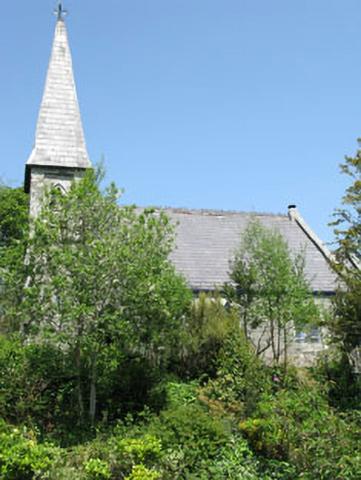 The Old Church Caféchurch/chapel · 1.1 mi
 The Blue PoolHeritage attraction · 1.2 mi
 Graveyard in CappyaughnaGraveyard · 1.3 mi
 Calf IslandIslet · 1.3 mi
 Friars IslandIslet · 1.3 mi
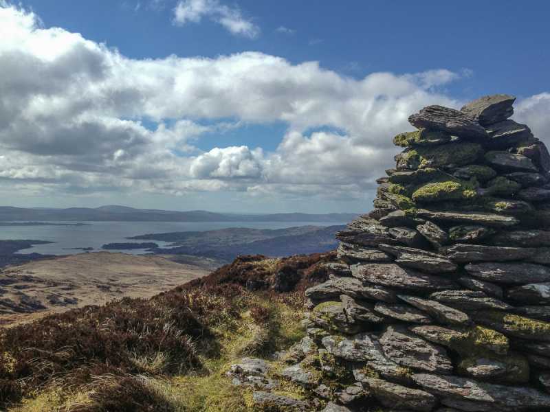 Barraboy Mountain SE TopMountain / peak · 1.4 mi
 Lady Bantry's LookoutViewpoint · 1.4 mi
 Barraboy MountainMountain / peak · 1.6 mi