What is recorded here
Half the limestone hill vanished into a nearby kiln, yet the old mound still holds its shape above the grass. Men may have stripped stones from one side for fire or building, but they left enough behind to mark the edge of the world. The kiln raged until the 1950s, hungry for rock and heat, while the mound watched the valley turn from pasture to smoke and back again.
'This low mound is located on top of what was once a very large spur of limestone. Approximately half of this hill has been quarried away, presumably for burning in the nearby lime-kiln. This kiln is located on the northern side of the hill and was in full scale operation until the 1950's (local information). The hilltop on which this mound is situated affords extensive views on all sides. The surrounding land is quite good, and is used for a mixture of meadow and strip-grazing. This mound is now grass covered, but probing with ranging- rods revealed the presence of a large amount of stone. The site consists of an elongated sub-circular mound 18m WSW-ENE in length, 13m in width at its more easterly end and 14m wide at its more westerly end. A low circular depression occurs also at the more westerly end, measuring 7.00m E-W by 8.00m N-S. This depression is 0.25m below the level of the mound at this point. The mound has a maximum height at its more westerly end of 1.20m. A low bank surrounds the site from east through north to west, at an average distance of 2.50m from the mound. This bank is 1.50m wide, 0.35m high internally and 0.50m high externally. At the south the bank seems to rejoin the mound, and this bank is not apparent at east. This would seem to suggest that this bank may actually be the remains of a kerb or revetment, the smaller stones of a possible cairn having been removed on the entire northern side of the site, with the southern side having escaped relatively unscathed. The overall dimensions of the site having taken this into account are 20.0m N-S by 23.0m E-W.'
Compiled by Michael Connolly for the Archaeological Survey of Ireland as part of a survey of the Lee Valley area in 1996-97.
Date of upload: 03 May 2012
A Neolithic cairn, likely dating to the Early to Middle Neolithic period (c. 4000–3000 BCE), partially destroyed by historical quarrying for lime-burning; its original form and wider significance are obscured by this activity.
The monument record does not grant public access. Check the route and ask the landowner before entering private land.
- What survives
- Recorded monument
Places near here
 Megalithic structure in Camp (trughanacmy By., Ballyseedy Ed)Megalithic structure · 332 yd
 Enclosure in BallyseedyEnclosure · 440 yd
 European YewEuropean Yew · 573 yd
 Ballyseedy WoodWood · 1426 yd
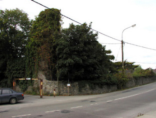 Castlemorriscastle/fortified house · 1471 yd
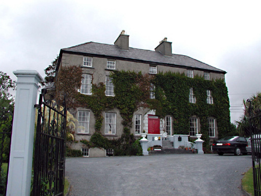 Castlemorris Househouse · 1490 yd
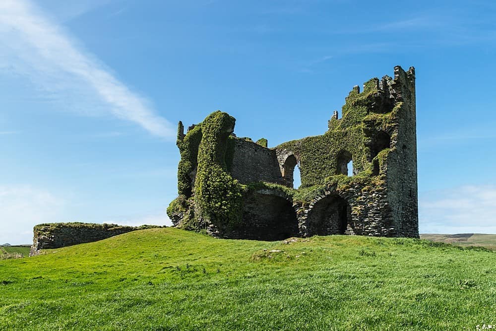 CastleCastle, unclassified · 1.0 mi
 Civil War MemorialMemorial · 1.1 mi
 Kerry County MuseumMuseum · 1.6 mi
 Sonny McCarthy MemorialMonument · 1.6 mi
 John Hurley GalleryGallery · 1.7 mi
 IndicatedCastle, unclassified · 1.8 mi