What is recorded here
Donegal's highest grazing point holds an oval cairn twelve metres long, its small stones catching light while larger edge stones resist the slope. The structure leans west toward Lough Swilly, perhaps marking a boundary, a burial or a warning to herds. Its exact purpose has faded, but its shape remains deliberate on the hill.
An oval cairn largely composed of small stones but with larger stones defining the edge. It is 12m long NE-SW × 5.5m wide and 1.25m high at its W end falling away towards the E. It is situated on the highest point in a grazing field sloping W to Lough Swilly.
The above description was derived from the 'Archaeological Survey of County Donegal. A description of the field antiquities of the County from the Mesolithic Period to the 17th century.' Compiled by: Brian Lacey with Eamon Cody, Claire Cotter, Judy Cuppage, Noel Dunne, Vincent Hurley, Celie O'Rahilly, Paul Walsh and Seán Ó Nualláin (Lifford: Donegal County Council, 1983). In certain instances the entries have been revised and updated.
Date of upload: 22 September 2008
A Neolithic cairn, likely dating to the Early to Middle Neolithic period (c. 4000–3000 BCE). Its positioning on high ground suggests ritual or commemorative significance, typical of early funerary or ceremonial monuments in Ireland.
The monument record does not grant public access. Check the route and ask the landowner before entering private land.
- What survives
- Recorded monument
Places near here
 Stragill BeachBeach / strand · 810 yd
 Loreto Househouse · 930 yd
 Linsfort Coastal Promontory FortPromontory fort, coastal · 1017 yd
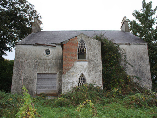 Linsfort Cottagehouse · 1213 yd
 Lisbuck FortFairy fort / ringfort · 1576 yd
 Neds Point FortFort · 1.6 mi
 O'Doherty's KeepCastle · 1.9 mi
 Lady's Bay, BuncranaOfficial bathing water · 2.4 mi
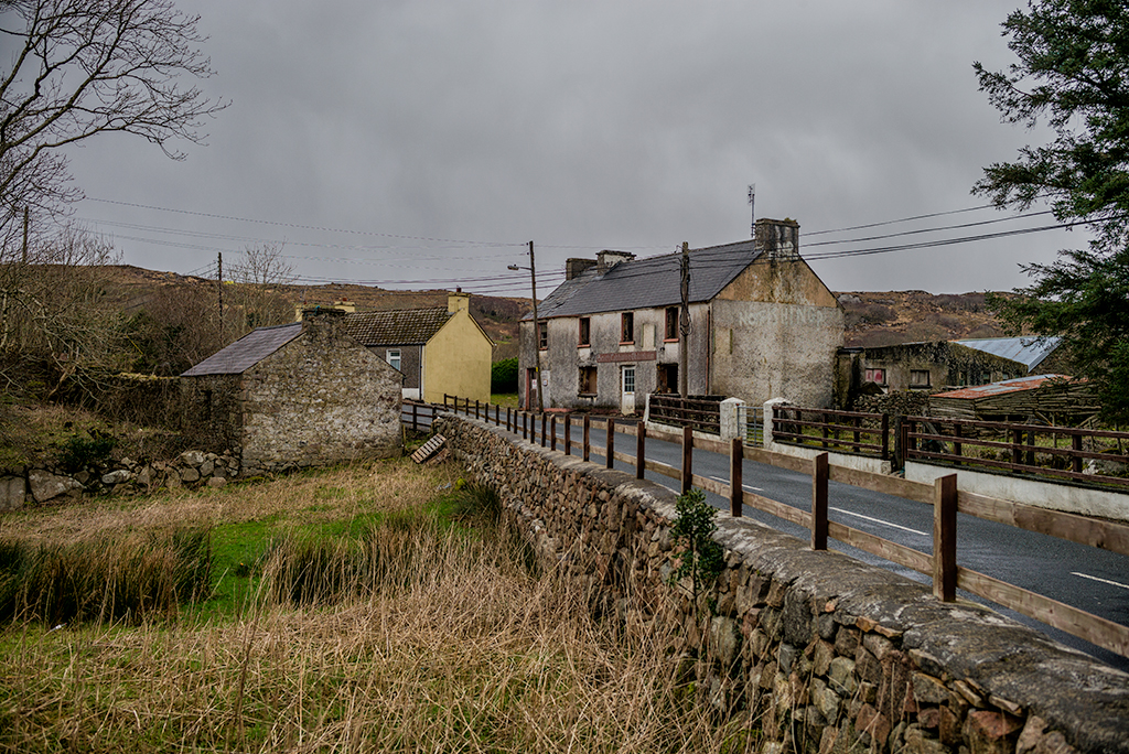 Saldána GalleryGallery · 3.4 mi
 Dunree CentreMuseum · 3.4 mi
 Dunree HeadHeadland · 3.5 mi
 Urris HillsMountain / peak · 4.3 mi