What is recorded here
Five low stone cairns sit embedded in cut-away bog southeast of ancient walls, likely marking fields cleared before the wet earth swallowed them. Modern concrete intrudes beside ancient rock, while grass strangles the oldest mound. The bog does not hide these marks; it reveals how quickly human order surrenders to water and time.
Described by Quinn and Carroll (2010) as ‘a group of 5 cairns located in cut-away bog to SE of walls (3, 4 and 6). All likely to represent clearance features given their position on top of natural bed rock. Likely to pre-date bog.
A. Located at NW of group of 5 cairns. Orientated E/W and comprises of low linear/oval mound of small-medium sized stones now largely overgrown with sod and grass. Length 1.8m, Width 1m, Height 0.2m.
B. Cairn located to E of A. Substantial linear /oval low mound of stones again comprised of medium to large sized stones, some upright. Length 2.5m, Width 1.3m, Height 0.2m.
C. Cairn located to SE of B. Low mound of medium to large sized stones in roughly oval shape. Orientated NE/SW. Length 2.9m, Width 2m, Height 0.4m.
D. Cairn located at SW of group of 5. Orientated N/S. Low oval shaped mound comprising small to medium sized stones. Modern concrete block also added to cairn. Length 2.6m, Width 1.5m, Height 0.5m.
E. Cairn located to SW of group of 5 cairns. Orientated NW/SE. Low oval shaped mound of small to medium sized stones. Natural bedrock visible beneath mound. Length 2.8m, Width 1.7m, Height 0.4m.'
Quinn, A and Carroll, M (2010) ‘Archaeological, Architectural and Cultural Heritage Assessment for a Proposed Wind Farm at Doonens Co. Cork’, Unpublished report, Tobar Archaeological Services.
Compiled by: Denis Power
Date of upload: 21 August 2013
The monument record does not grant public access. Check the route and ask the landowner before entering private land.
- What survives
- Recorded monument
Places near here
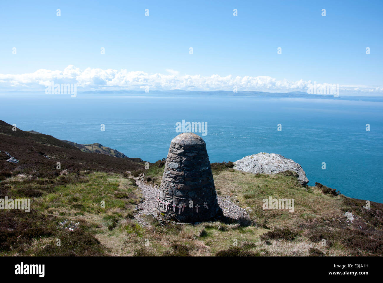 CairnCairn, unclassified · 52 yd
 Enclosure in An Inse Mhór (tc Béal Átha An Ghaorthaidh)Enclosure · 202 yd
 Doughill MountainMountain / peak · 1394 yd
 Douce MountainMountain / peak · 1.5 mi
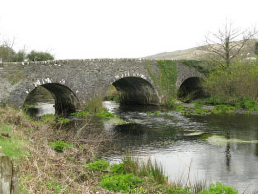 Inchinossig Bridgebridge · 2.2 mi
 Gougane BarraValley and heritage place · 2.3 mi
 Stepping StonesClapper bridge · 2.3 mi
 European ashEuropean ash · 2.4 mi
 Gortnahoughtee Mass RockNamed rock · 4.9 mi
 St Finbarr's Pilgrim RouteWalking route · 5.1 mi
 Togher CastleCastle, tower house · 6.1 mi
 Sli Gaeltacht MuscraiWalking route · 6.1 mi