
What is recorded here
Three shallow oval cairns lie scattered through the Doonens bog in County Cork, their stones barely rising thirty centimetres above the dark earth. They sit south of an old wall like forgotten markers for a route no longer walked. The flat shape and sparse arrangement suggest they marked a boundary, a burial or a temporary camp rather than grand ceremony. Whatever they recorded has faded, leaving only the weight of stones and the hunger of the bog to argue about its meaning.
Described by Quinn and Carroll (2010) as ‘A group of 3 cairns to S of wall (15) in bog.
A. Low cairn, oval in shape orientated NW/SE and comprises of medium to large stones. Length 3.3m, Width 2.2m, Height 0.3m.
B. Cairn, low oval shaped mound of stones located to SE of A. Orientated E/W. Length 2.8m, Width 1.8m, Height 0.3m.
C. Cairn located to the E of B. Low mound of stones, oval in shape and orientated E/W. Length 2.3m, Width 2.1m, Height 0.3m.'
Quinn, A and Carroll, M (2010) ‘Archaeological, Architectural and Cultural Heritage Assessment for a Proposed Wind Farm at Doonens Co. Cork’, Unpublished report, Tobar Archaeological Services.
Compiled by: Denis Power
Date of upload: 21 August 2013
A Neolithic cairn group; likely dates to the Early to Middle Neolithic period (c. 4000–3000 BCE). These cairns may represent early funerary or ritual monuments, reflecting the use of the landscape for communal burial practices in the Irish Neolithic.
The monument record does not grant public access. Check the route and ask the landowner before entering private land.
- What survives
- Recorded monument
Places near here
 Enclosure in An Inse Mhór (tc Béal Átha An Ghaorthaidh)Enclosure · 187 yd
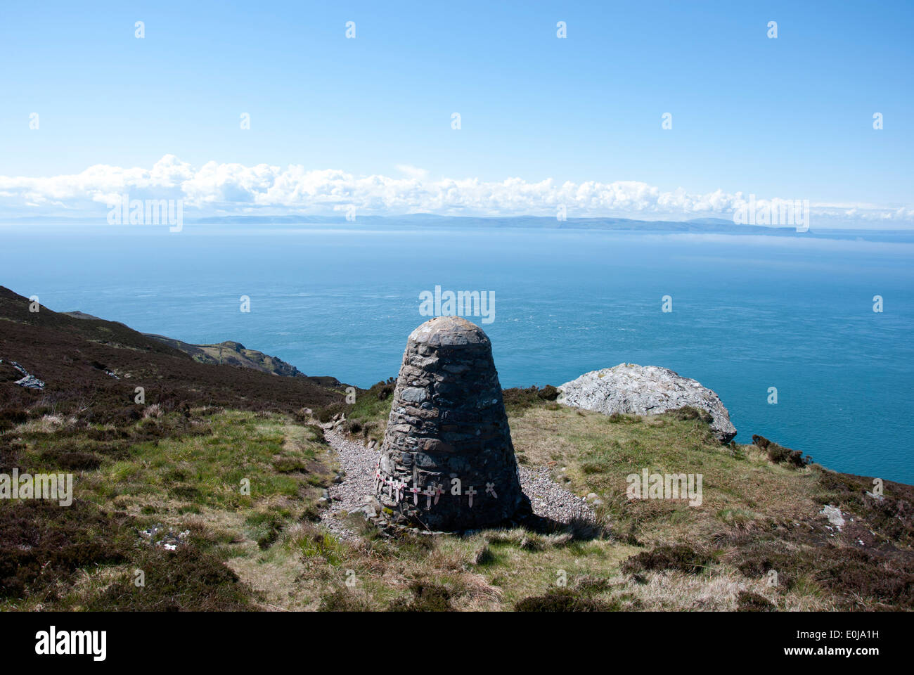 CairnCairn, unclassified · 195 yd
 Doughill MountainMountain / peak · 1537 yd
 Douce MountainMountain / peak · 1.6 mi
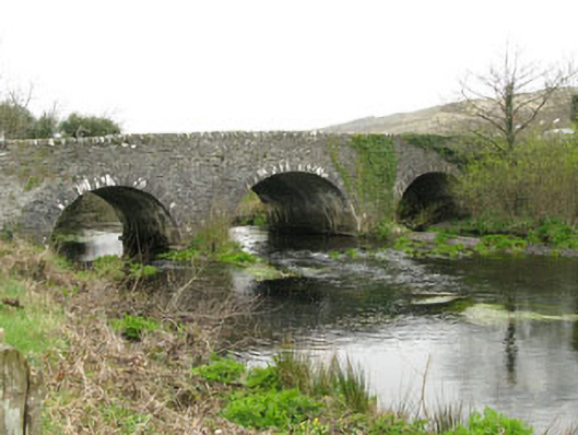 Inchinossig Bridgebridge · 2.1 mi
 Stepping StonesClapper bridge · 2.2 mi
 Gougane BarraValley and heritage place · 2.3 mi
 European ashEuropean ash · 2.4 mi
 Gortnahoughtee Mass RockNamed rock · 4.8 mi
 St Finbarr's Pilgrim RouteWalking route · 5.2 mi
 Sli Gaeltacht MuscraiWalking route · 6.1 mi
 Togher CastleCastle, tower house · 6.1 mi
Other information
Photo: Credit not shown in the picture search · Rights wording not checked; contact us if this picture should be removed