What is recorded here
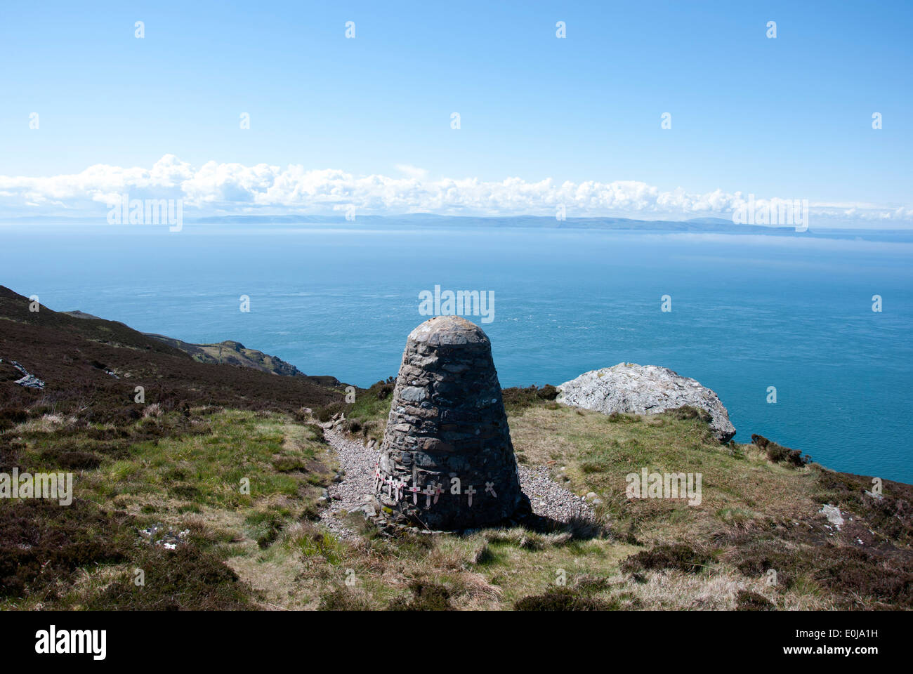
Half a metre wide and three metres long, the stone ridge lies flat under the bog like a forgotten rib. It may have been a boundary marker, a dead man's tomb or a child's game of stacking rocks before the swamp swallowed it. The trackway cut through the moss and revealed the ridge, proving the land remembers what people forget.
Described by Quinn and Carroll (2010) as ‘a cairn (pre-bog). Short length of stone cairn protruding from beneath a section of bog to the S of an existing trackway. Exposed possibly during construction of trackway. Located to S of Walls (3, 4 and 6). Orientated E/W. Visible as low mound of stone protruding from under bog section. Length 2.97m, Width 0.4m, Height 0.25m.'
Quinn, A and Carroll, M (2010) ‘Archaeological, Architectural and Cultural Heritage Assessment for a Proposed Wind Farm at Doonens Co. Cork’, Unpublished report, Tobar Archaeological Services.
Compiled by: Denis Power
Date of upload: 21 August 2013
A pre-bog cairn, likely dating to the Neolithic or early Bronze Age; its partial exposure during trackway construction suggests potential for further archaeological investigation.
The monument record does not grant public access. Check the route and ask the landowner before entering private land.
- What survives
- Recorded monument
Places near here
 Enclosure in An Inse Mhór (tc Béal Átha An Ghaorthaidh)Enclosure · 237 yd
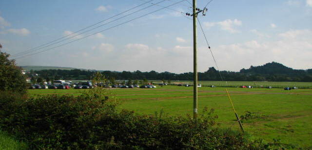 Field system in Dooneens (muskerry West By., Inchigeelagh Par.)Field system · 300 yd
 Doughill MountainMountain / peak · 1342 yd
 Douce MountainMountain / peak · 1.5 mi
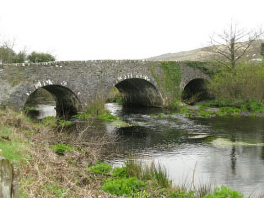 Inchinossig Bridgebridge · 2.2 mi
 Gougane BarraValley and heritage place · 2.2 mi
 Stepping StonesClapper bridge · 2.3 mi
 European ashEuropean ash · 2.4 mi
 Gortnahoughtee Mass RockNamed rock · 4.9 mi
 St Finbarr's Pilgrim RouteWalking route · 5.1 mi
 Togher CastleCastle, tower house · 6.1 mi
 Sli Gaeltacht MuscraiWalking route · 6.1 mi
Other information
Photo: Credit not shown in the picture search · Rights wording not checked; contact us if this picture should be removed